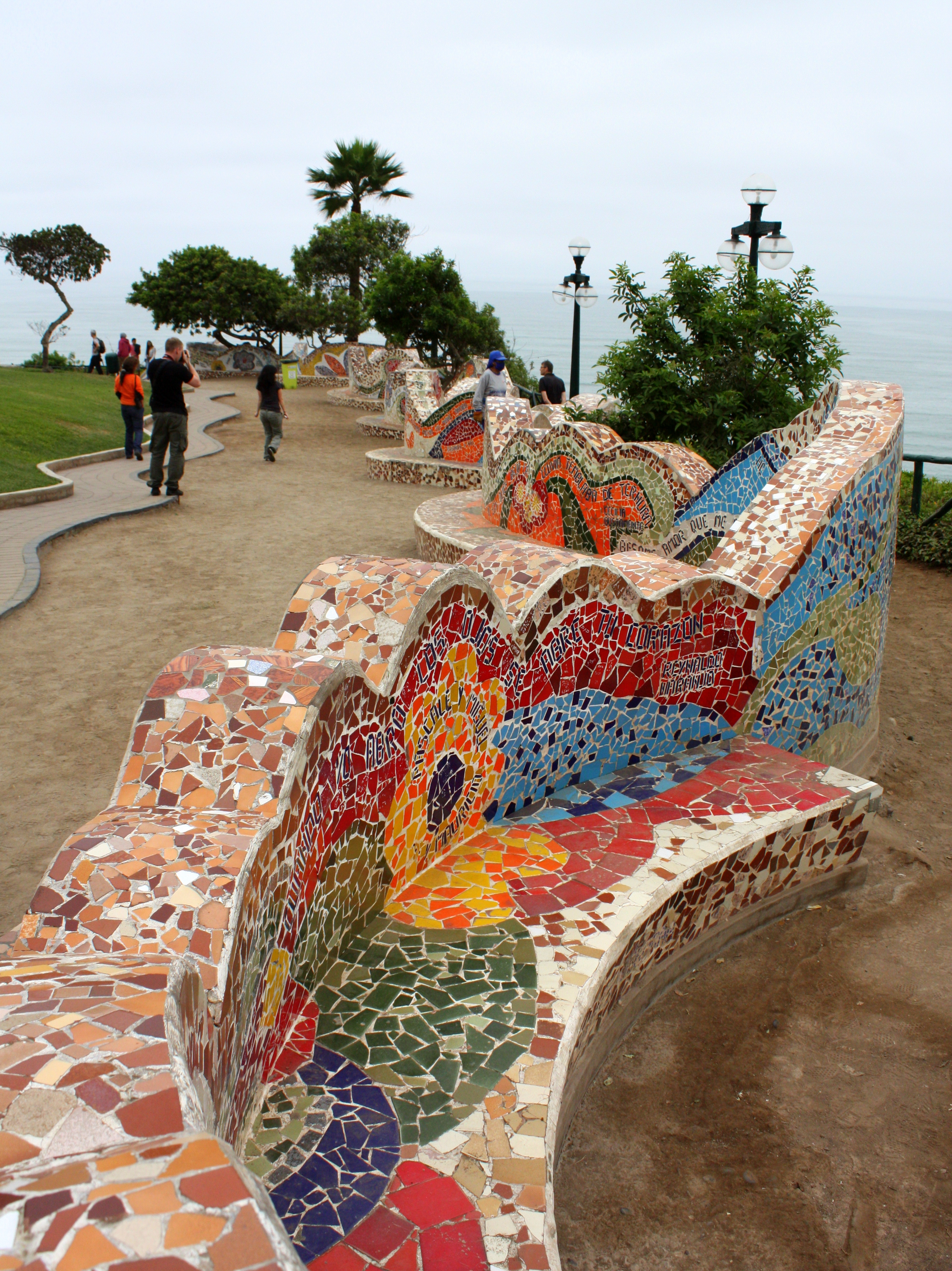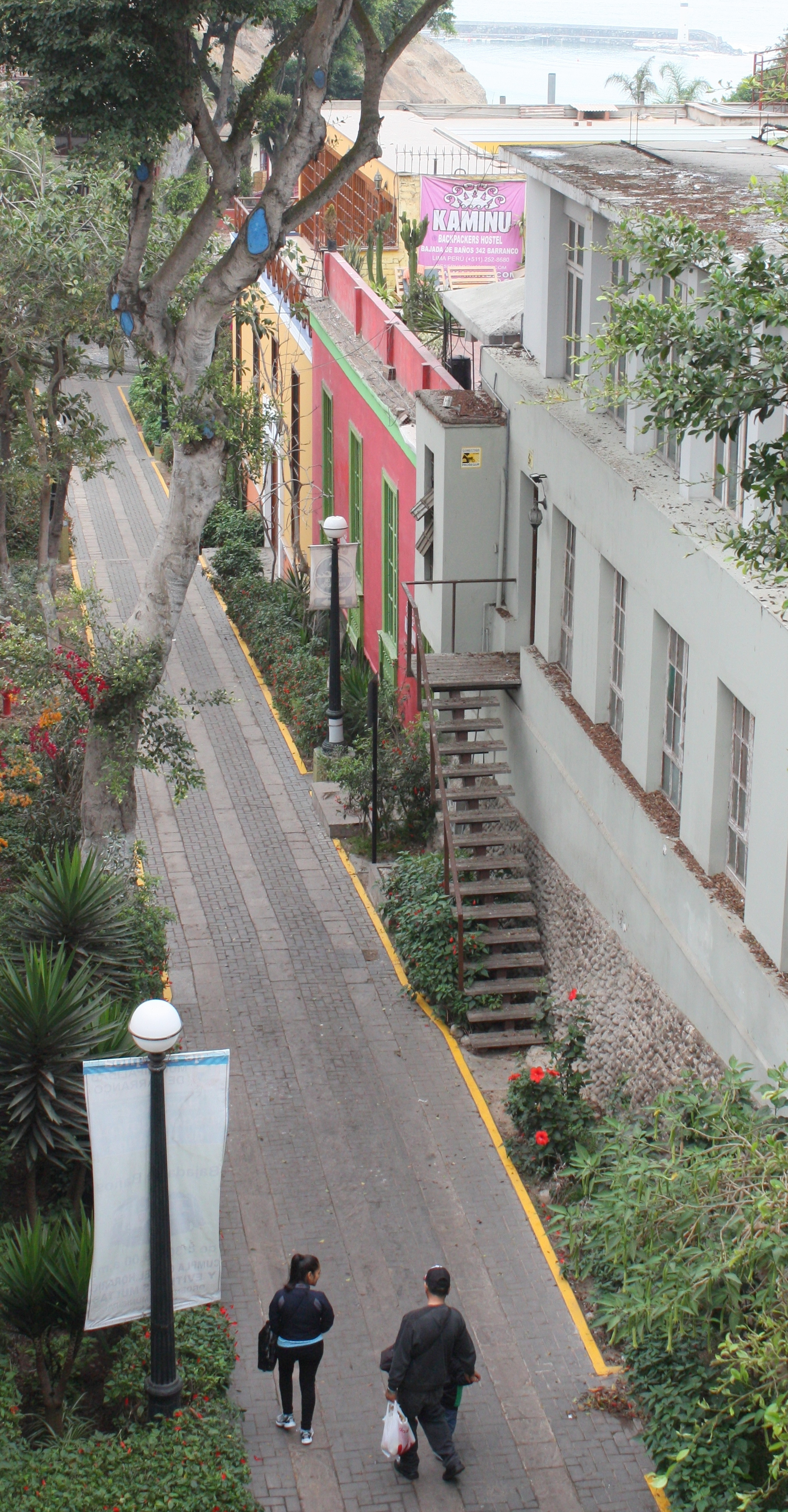
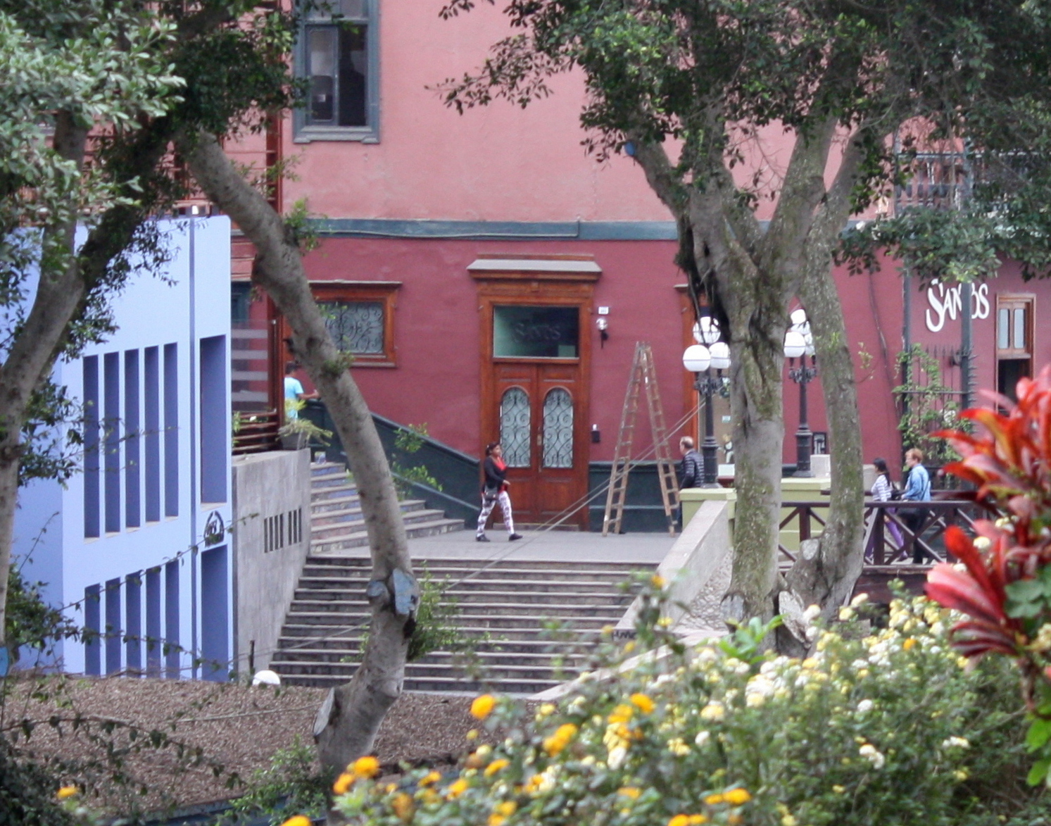
Bajada de los Baños, Barranco, Lima
Barranco is the Spanish word for “ravine”, and Lima’s Barranco District takes its name from a ravine that was once a riverbed, but is now the site of a pedestrian walkway – the Bajada de los Baños – a ramp that connects it to the beach below.
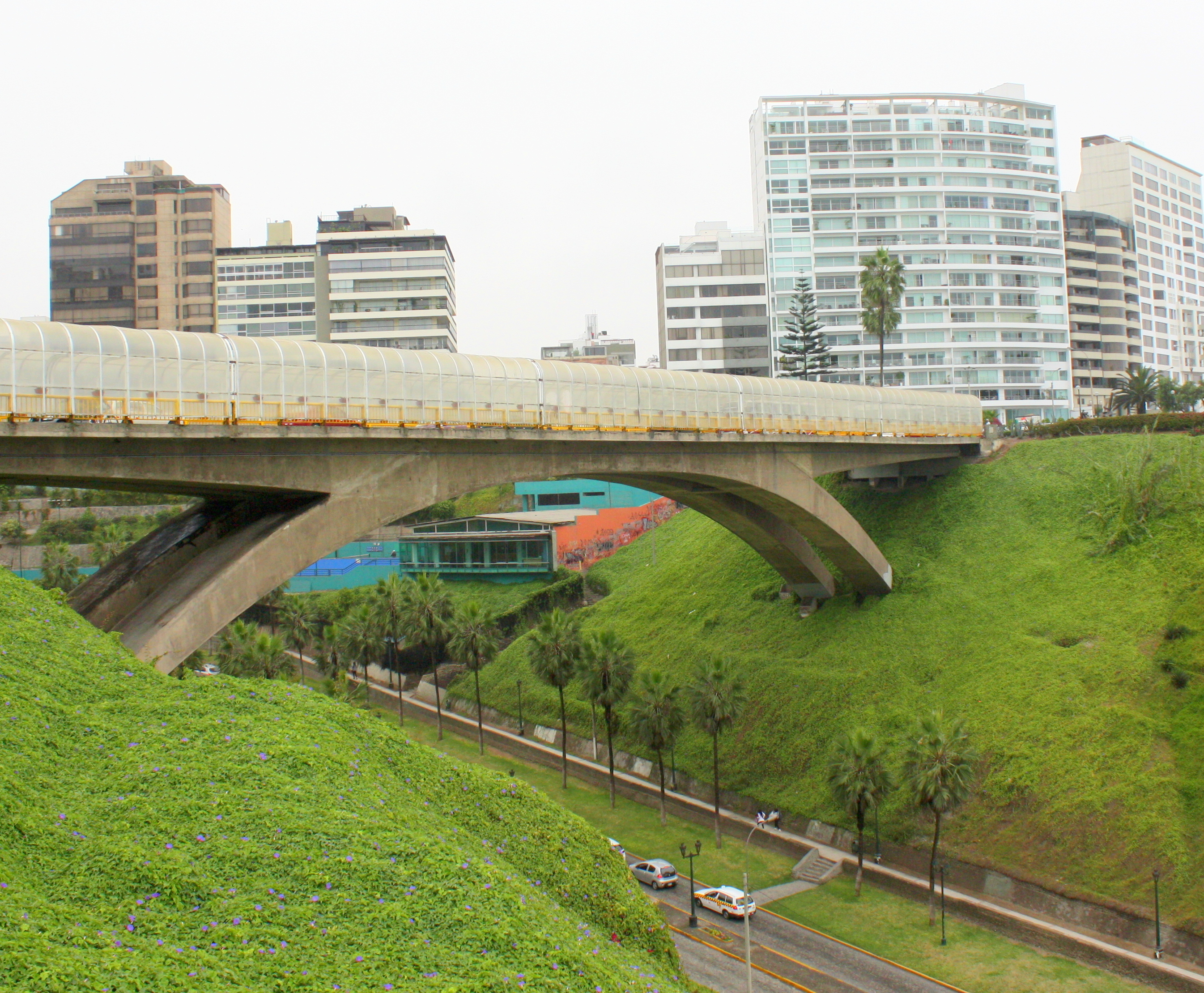
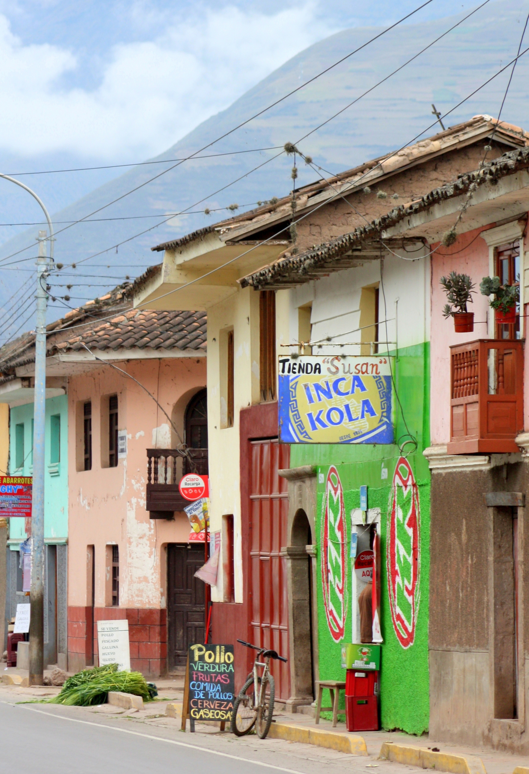
The forest of glittering high rises that has sprouted in neighboring Miraflores has not yet crept this far down the coast, and it still has the feeling of a village.

Puente de los Suspiros Bridge of Sighs, Barranco, Lima, Peru
The ravine, though, is not the only unique feature of Barranco’s geography or its appeal.
Cliffs extending out from the shoreline to the south shield it from cold and damp southern winds to create a comfortable micro-climate.
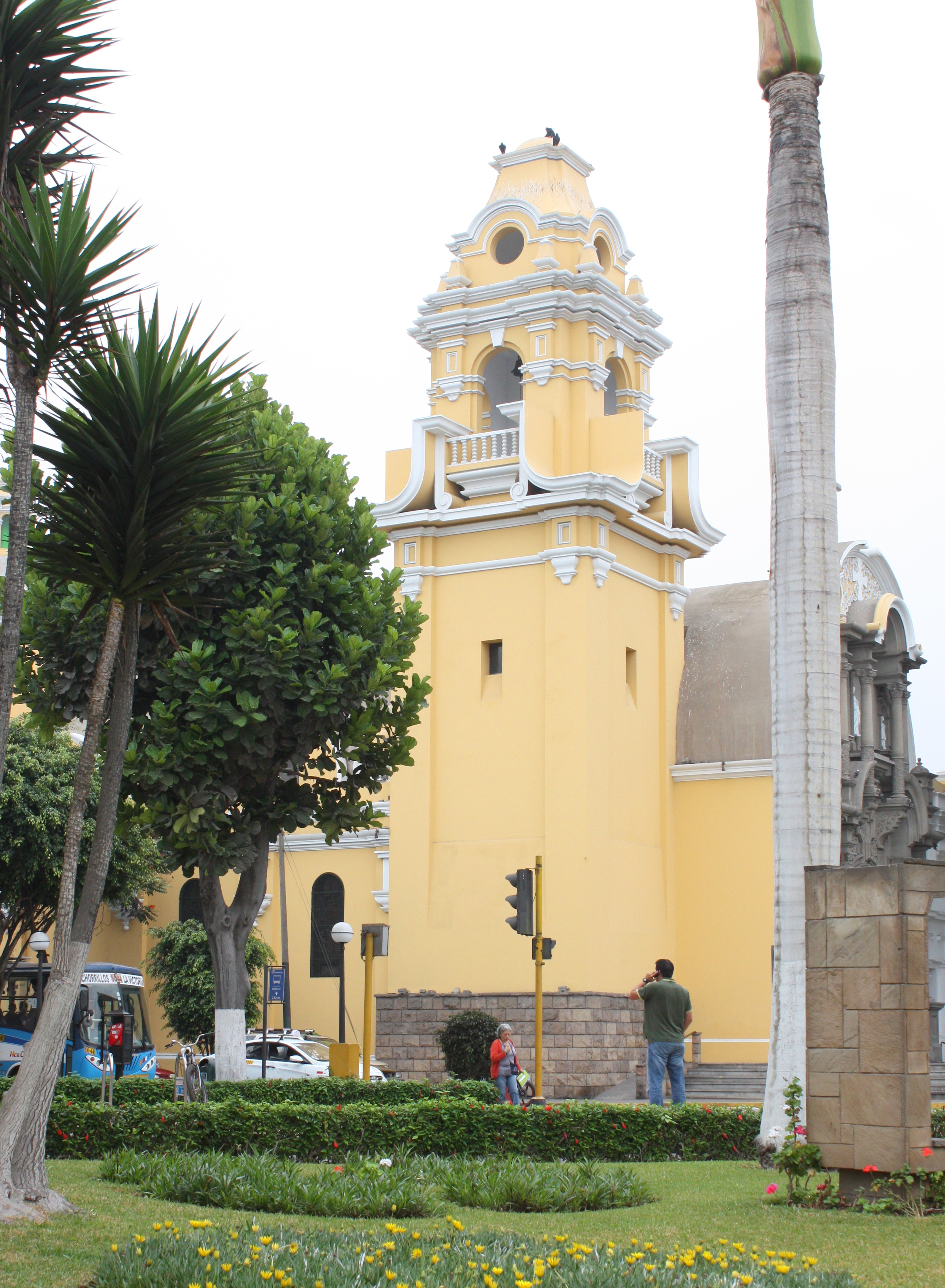
La Ermita church, Barranco, Lima, Peru
On a side street, a hostel sign proclaims “backpackers welcome,” and through its open lobby door well-worn surfboards stand stacked against a wall.
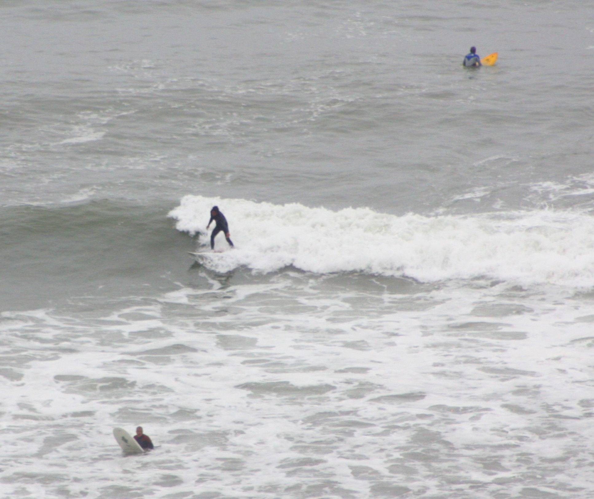
Lima has been ranked Number 6 among the World’s 50 Best Surf Spots, and Barranco still boasts a marina and yacht club.
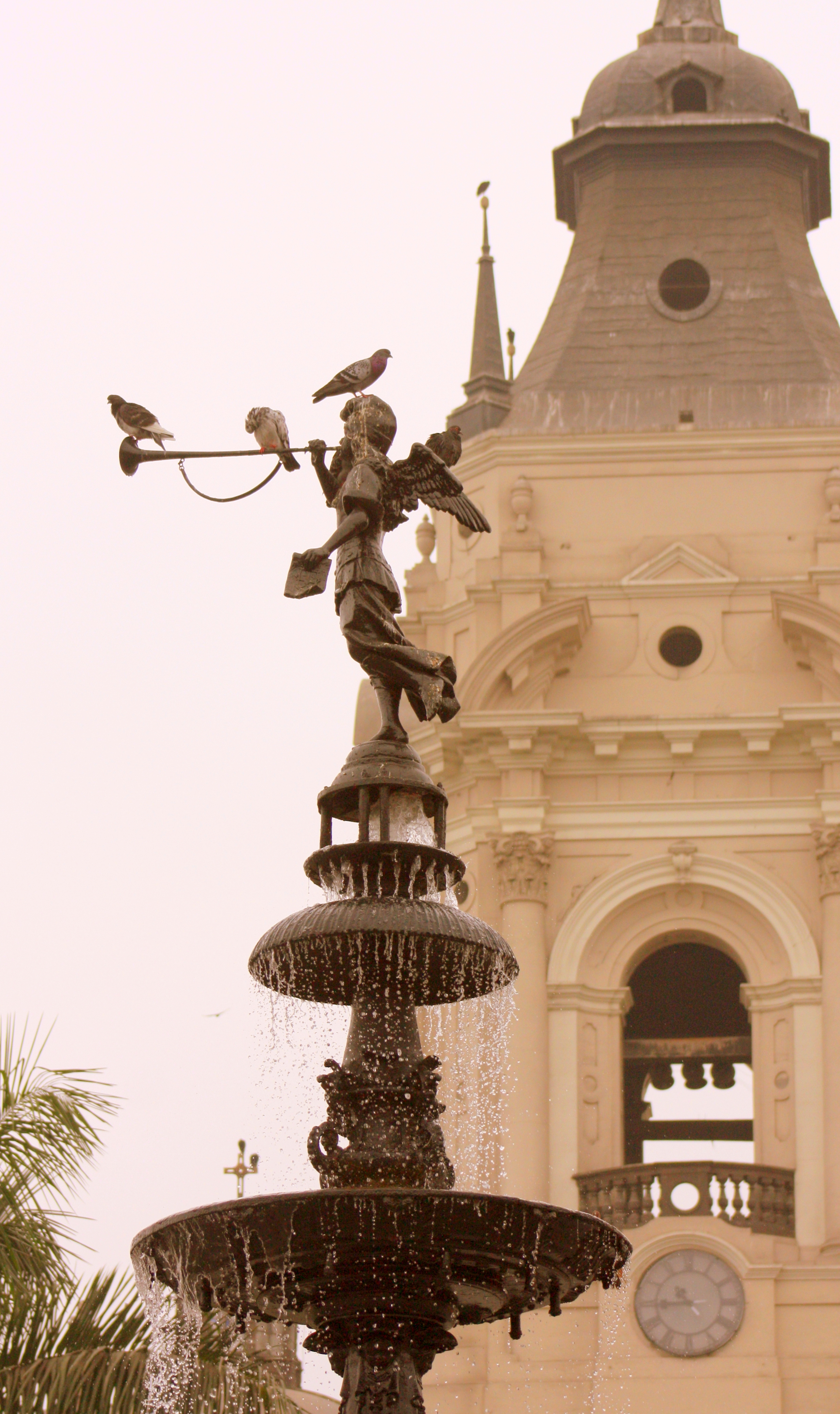
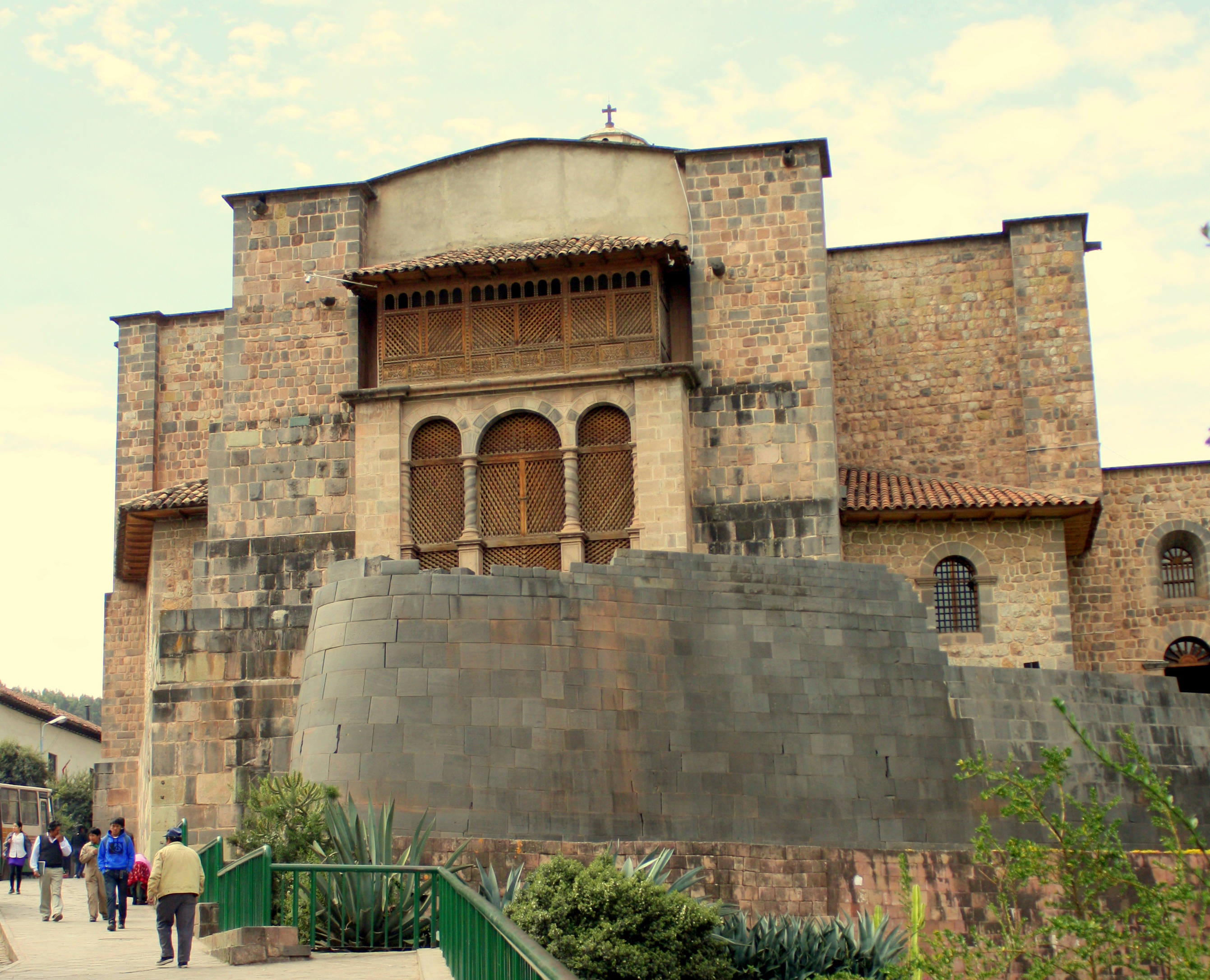
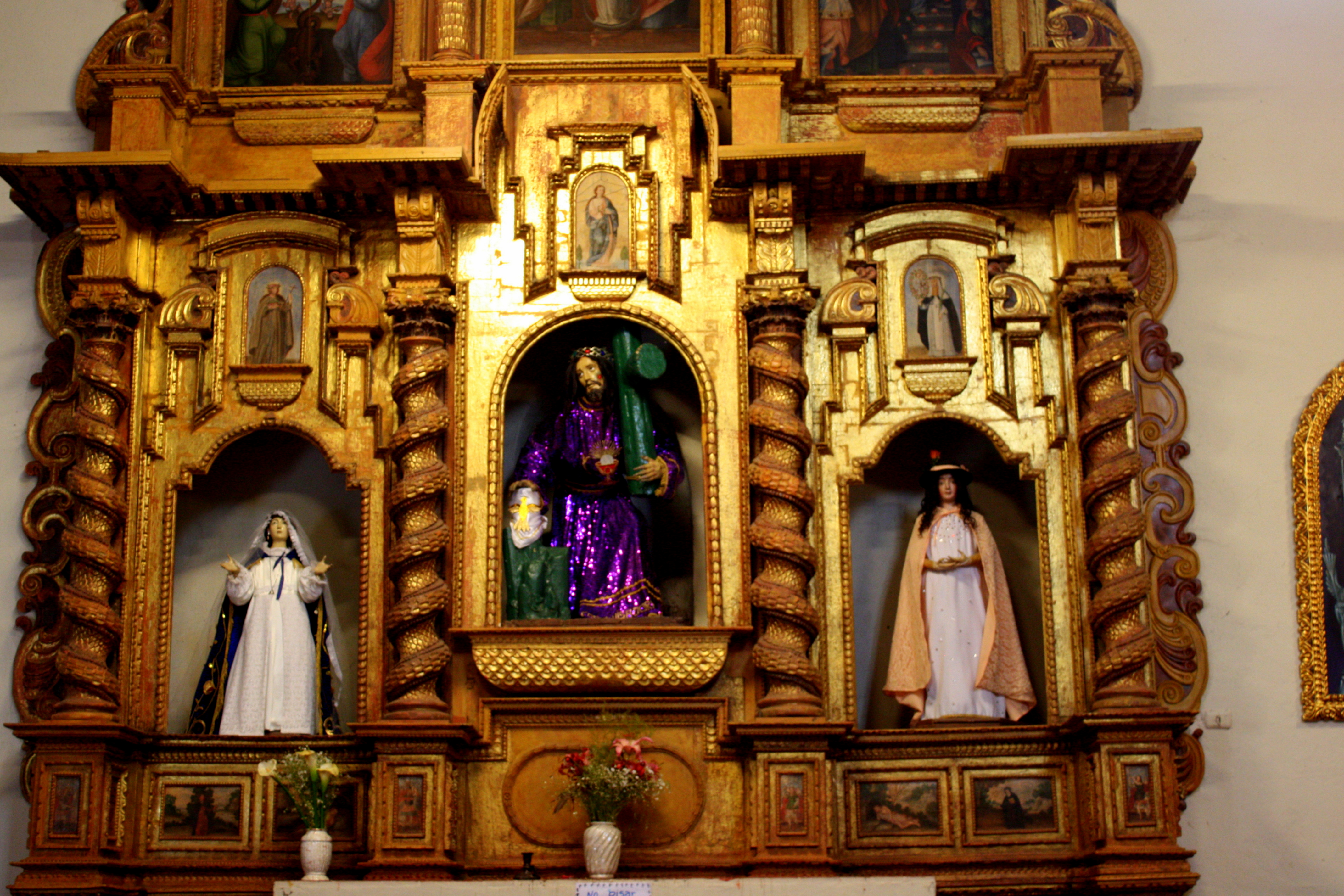
Barranco was originally a fishing village, and its maritime heritage is celebrated by the Eglesia de la Ermita.
Legend has it that a group of fishermen lost in the sea mist at last saw a distant light and rowed toward it. When they came ashore, they found that in the spot where they had seen the light was nothing but a wooden cross in the sand, and built the church in thanksgiving.

Cupola of La Ermita church, Barranco, Lima, Peru
La Ermita is now abandoned, its fractured ceiling a exposing earthquake-proof construction techniques that date back to pre-Columbian times that substitute light and flexible bamboo and stucco for heavy brick or stone.
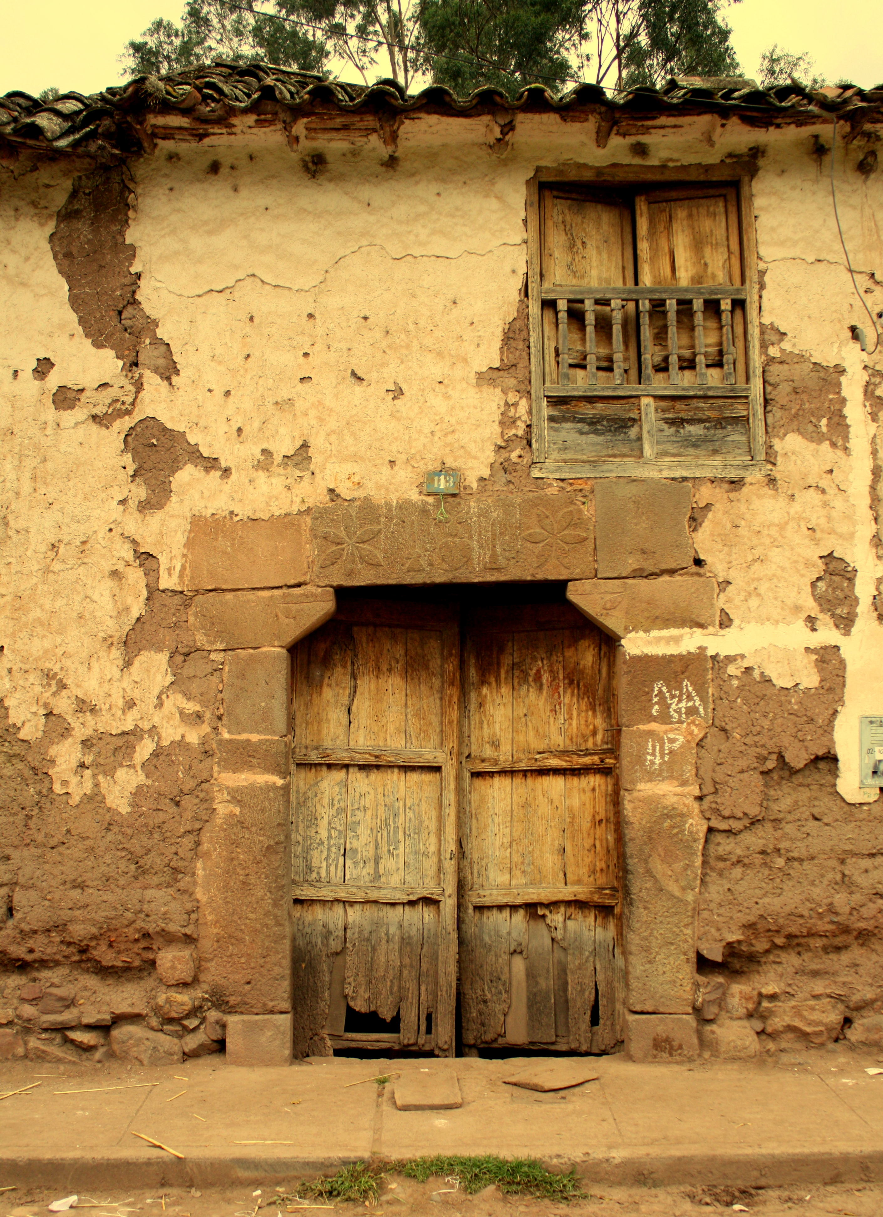
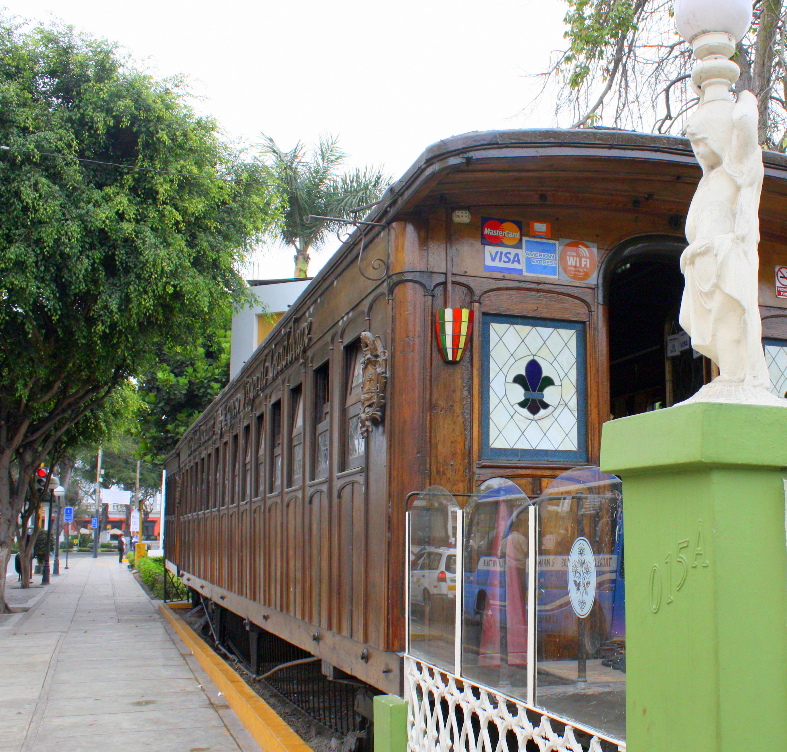
Late 1800’s, the District became a fashionable beach resort where well-to-do Limeños built casonas – their summer homes.

Electric trolley museum, Barranco, Lima, Peru
It was so popular that an electric trolley line once connected it to downtown Lima, and one of the trolley cars is now on display here as a permanent museum.
There’s more to Barranco, though, than its connection to the ocean
The District is also considered to be Lima’s most romantic and bohemian neighborhoods.

Cafe mural, Barranco, Lima, Peru
Peru’s leading writers, artists and musicians have lived and worked here for more than a century, and there are more than a dozen galleries here, including the first permanent exhibition of internationally known Peruvian fashion photographer Mario Testino.
Restaurants and gardens, Barranco, Lima, Peru
The heart of the District covers a dozen or so square blocks.
It’s easy to cover on foot and very secure to walk.
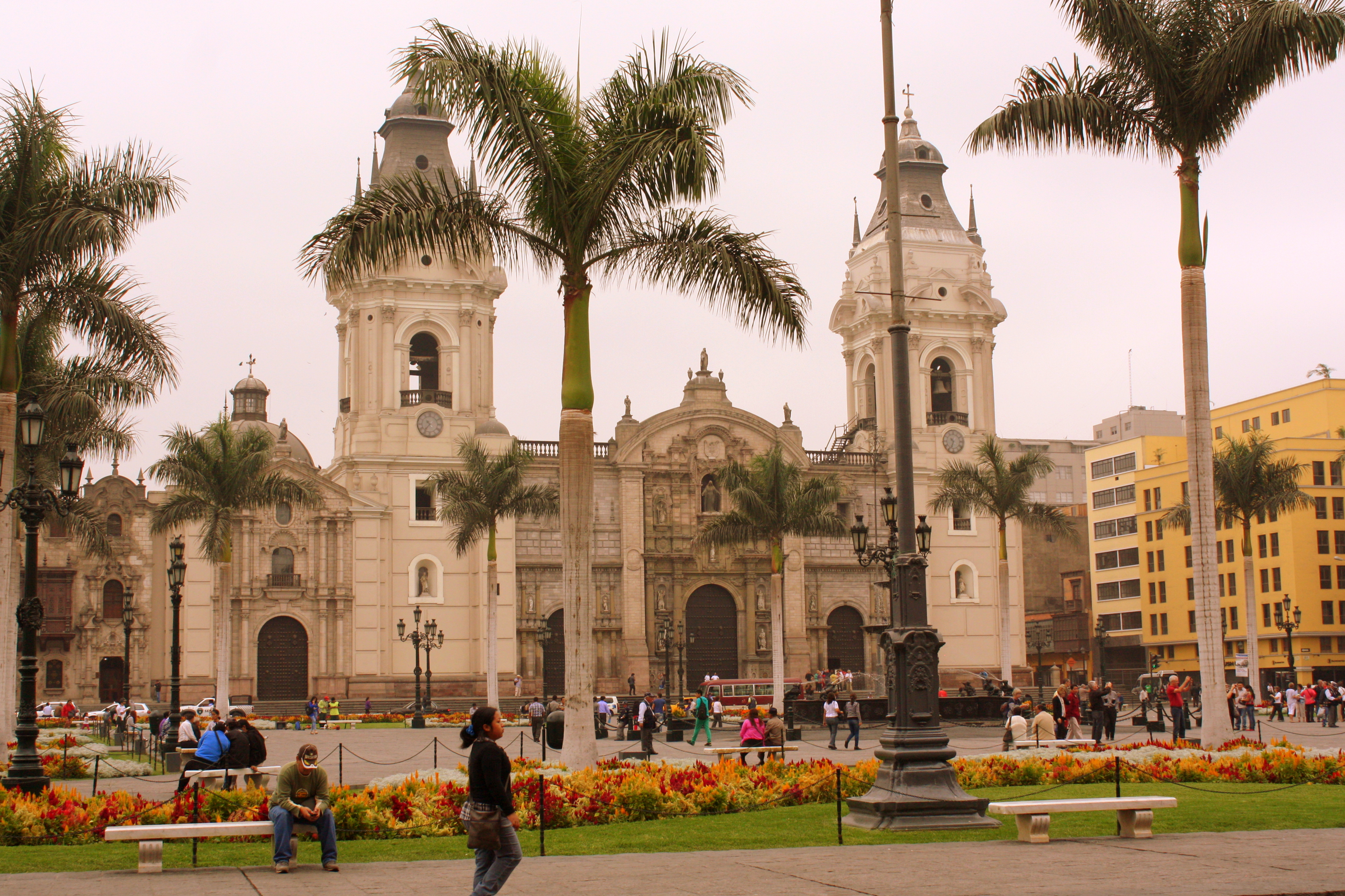
The central plaza retains its original Spanish colonial flavor, and parks and streets are flower-filled.
Shops sell artisan goods tapestries and ceramics.
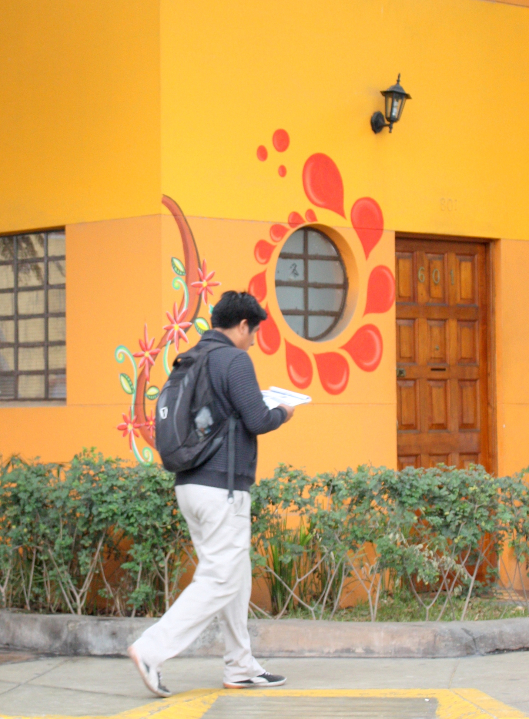
Street art adorns walls and homes. Facades of casonas built in the Republican style retain all of their elegance and charm.

Bajada de los Baños (Bridge of Sighs), Barranco, Lima, Peru
The walkway to the sea, the Bajada de los Baños, is spanned by the Puente de los Suspiros foot bridge.
Its name translates into Bridge of Sighs, so called because it is a frequent meeting place for lovers.
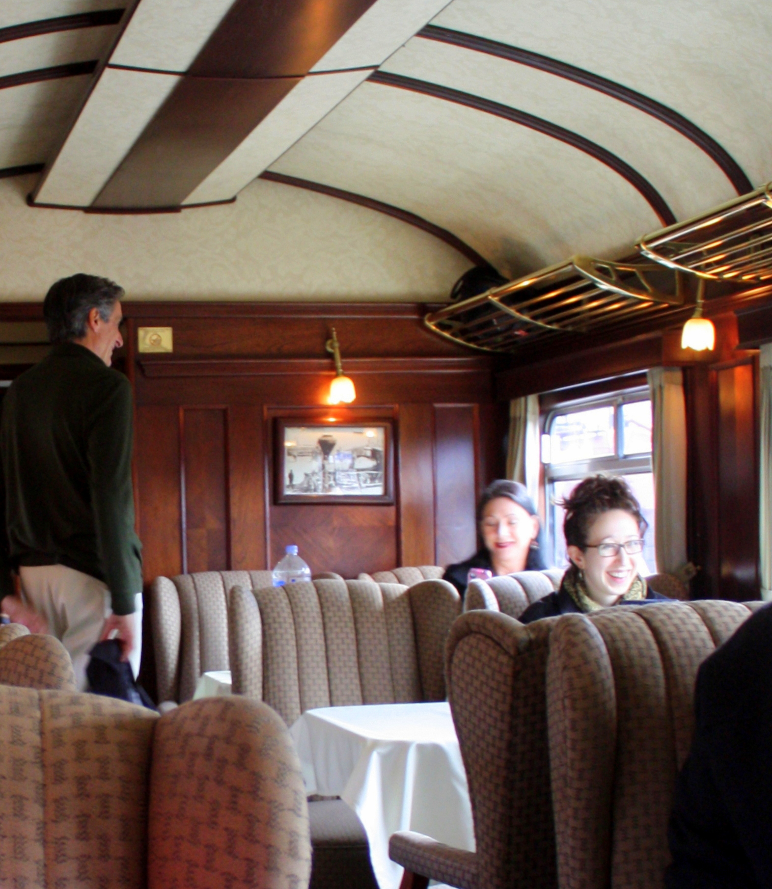
Dining car restaurant, Barranco, Lima, Peru
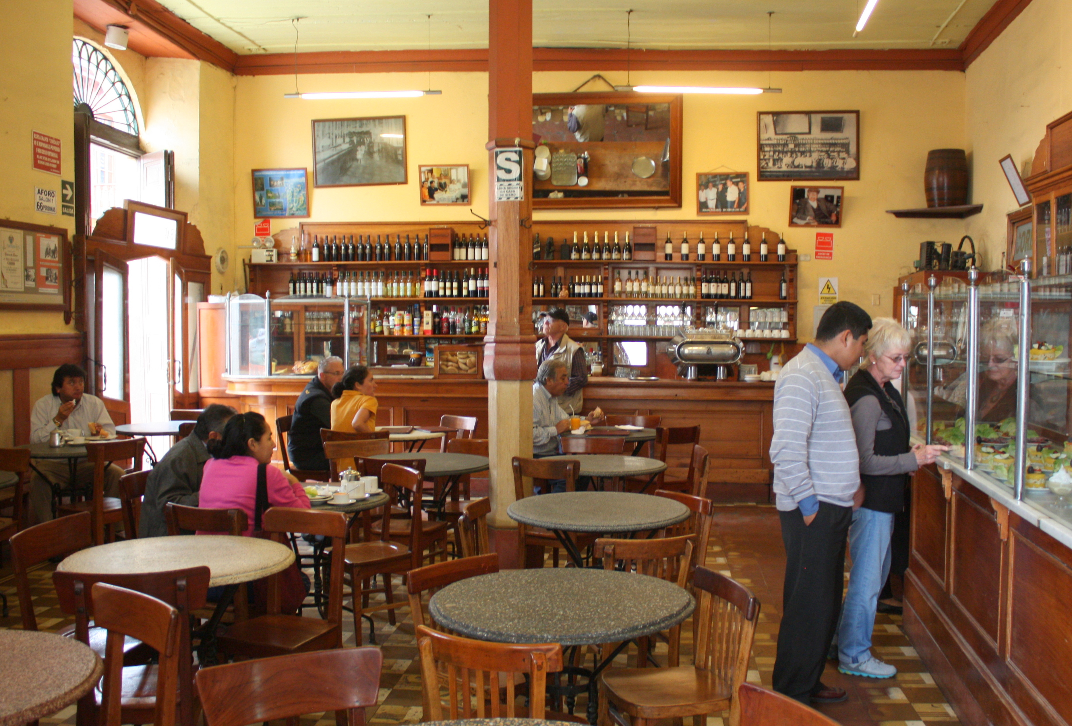
Here you’ll find no chain restaurants, but only owner-operated establishments, each brimming with its own unique charm.

Peruvian restaurant, Barranco, Lima, Peru
If Barranco is a pleasant way to pass the day, it comes even more alive in the evenings, when the bistros, bars, and cafes are crowded with young adults.
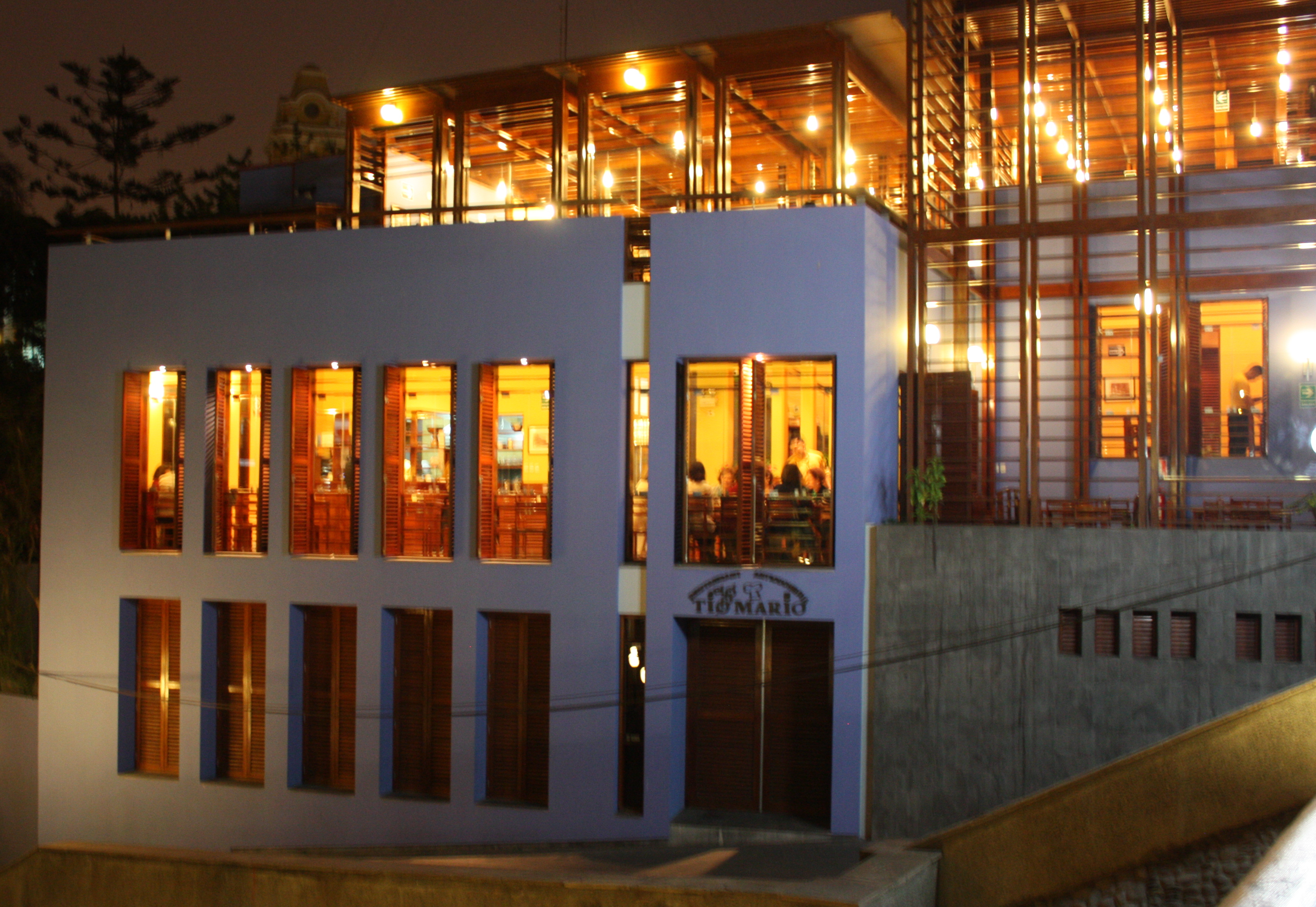
Restaurant at night, Barranco, Lima, Peru
I settle over a latte to watch passers-by stop to play a piano that sits beneath an outdoor canopy.

“Play Me” piano, Barranco, Lima, Peru
It’s only one of dozens placed in city parks and other public spaces by the city, and I sit nearby as a young man plays a flawless rendition of a work by Debussy.
It’s a perfect end to a perfect day, but I’m still looking forward to tomorrow’s culinary tour of Lima! Click here to come along!