
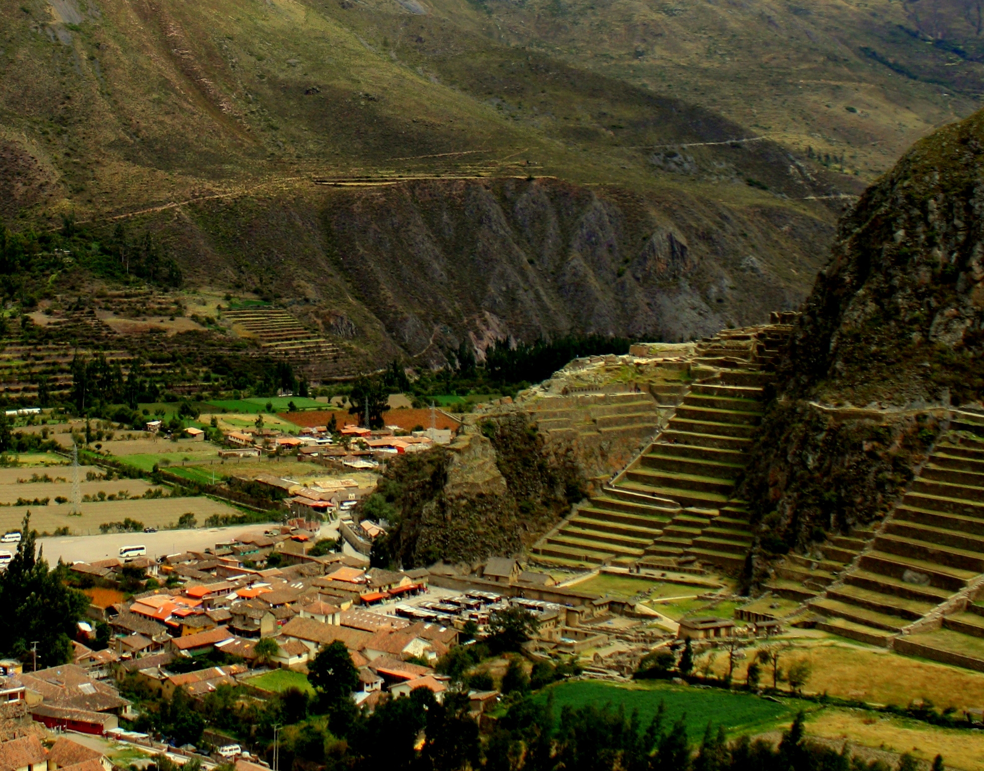
For the Incas, all roads led to Cusco. The city’s name is a corruption of the Inca word for “center,” and it was for them the “navel of the world”, the place from which roads to the four compass points linked the capital with the four regions through which it administered the empire. The Incas’ mark on the city was largely erased by the Spaniards’ campaign of cultural genocide, but in the old city – as in Ollantaytambo – the conqueror’s architecture sits atop original Inca walls.

Cusco’s Plaza de Armas as seen from Saksaywaman
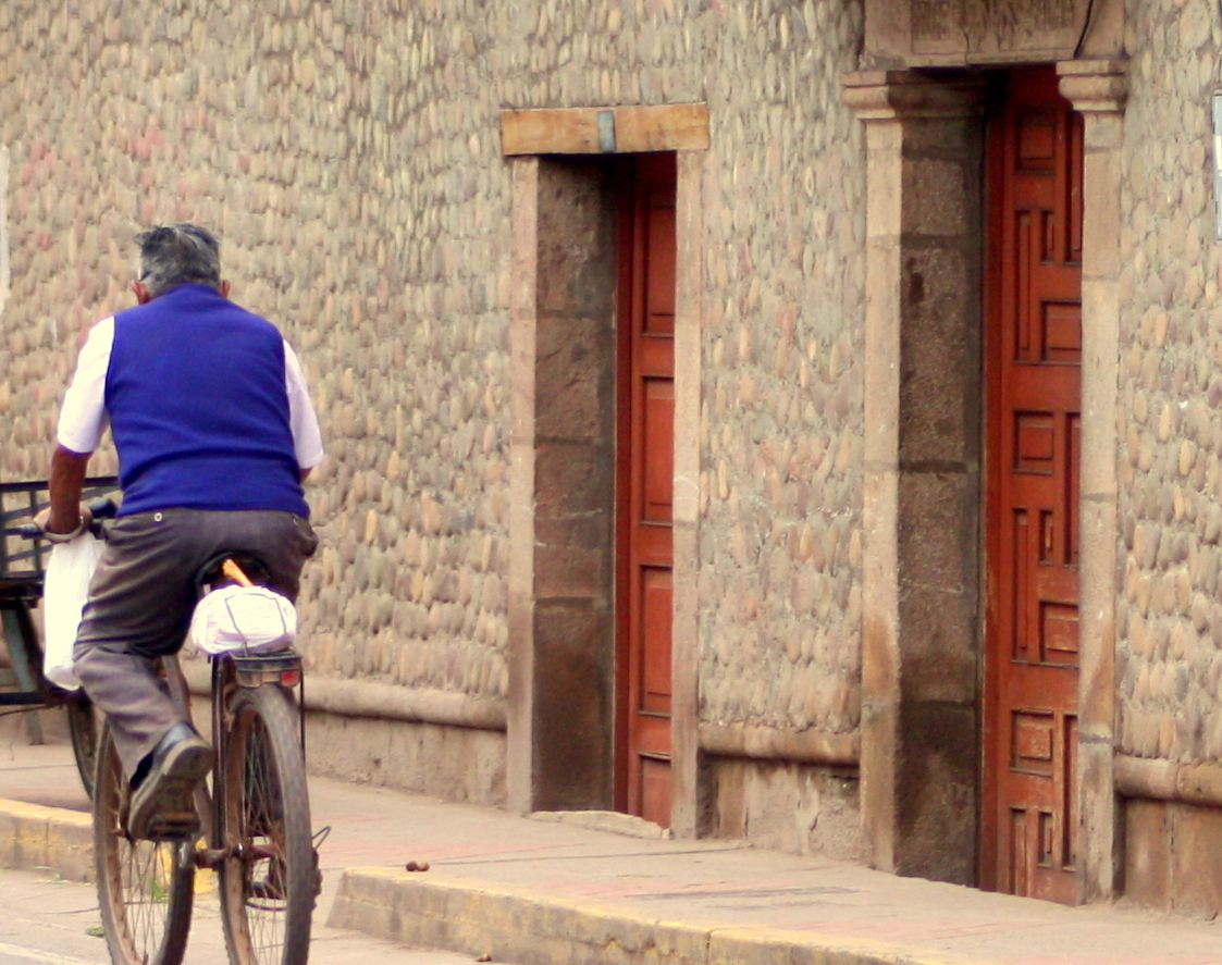
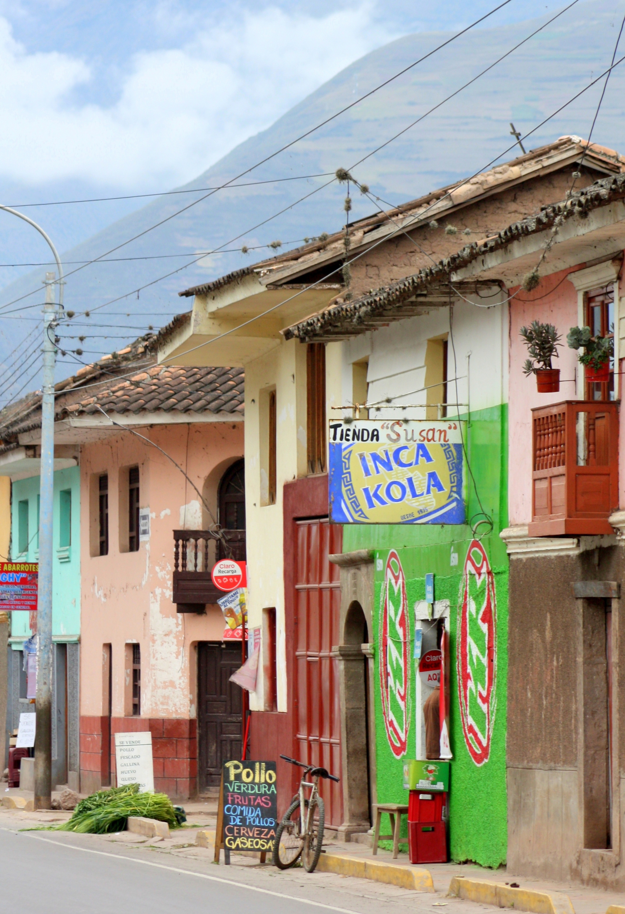
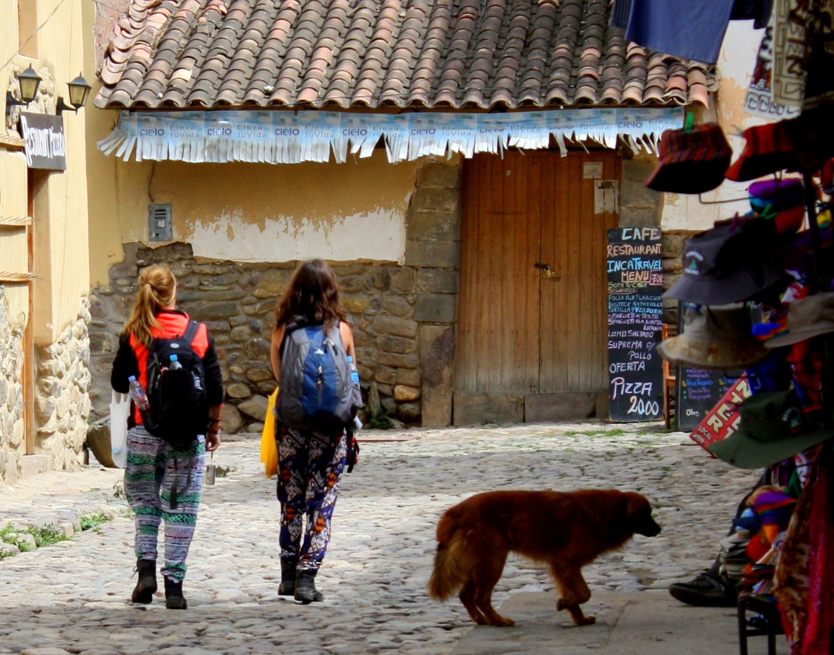
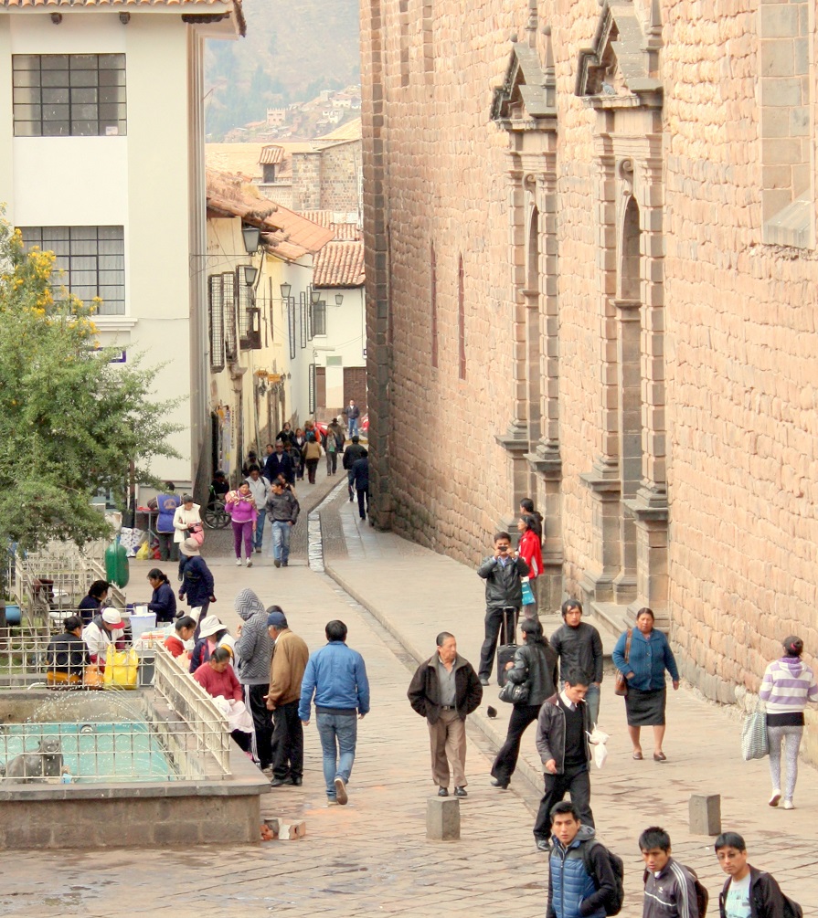
Those walls rise, man-high, around narrow, tourist-packed streets that feel at times like walking through Florence. The old city comes alive at night, and there are easily enough good restaurants in Cusco to suit every taste and budget. Plan to stay no less than a couple of days and at least as many nights here to take in the essentials.

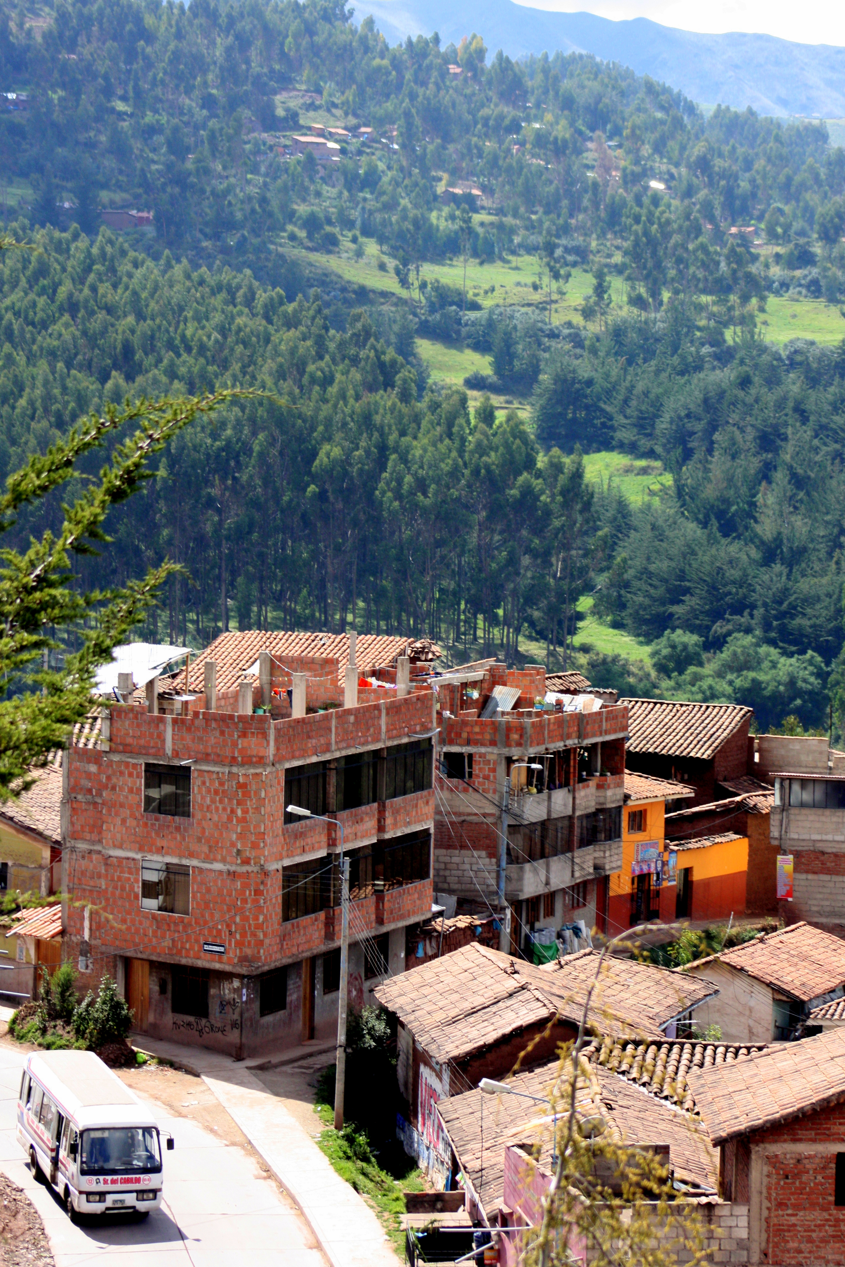
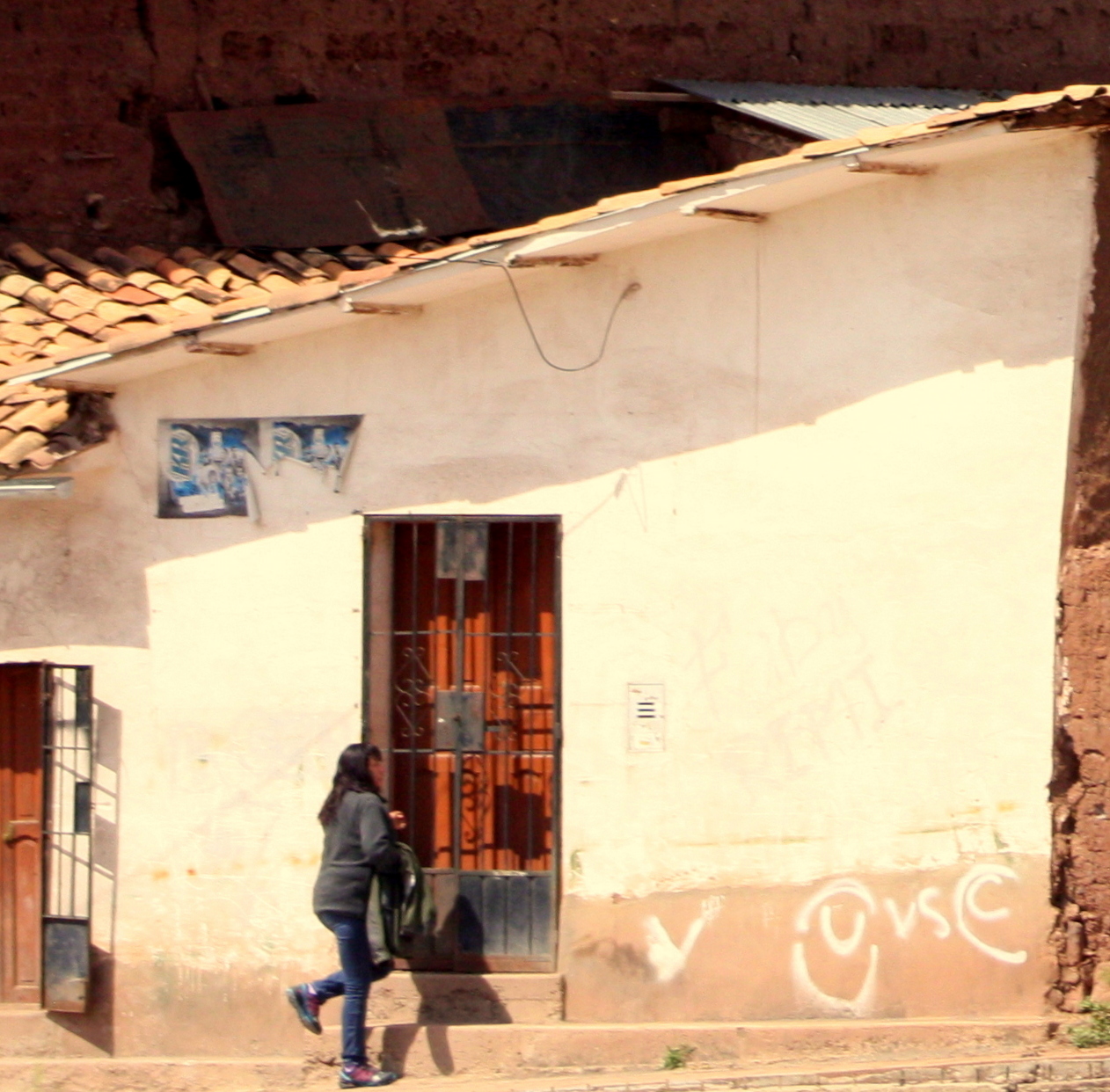
Cusco’s historic center street view
The Spaniards were intent not just upon conquering the Inca, but upon obliterating the symbols and practices through which Inca society had been bound together.
Their obsession with building Catholic churches upon the ruins of Inca palaces and temples created two of the city’s most prominent attractions – the Qorikancha and the Cathedral de Santo Domingo.
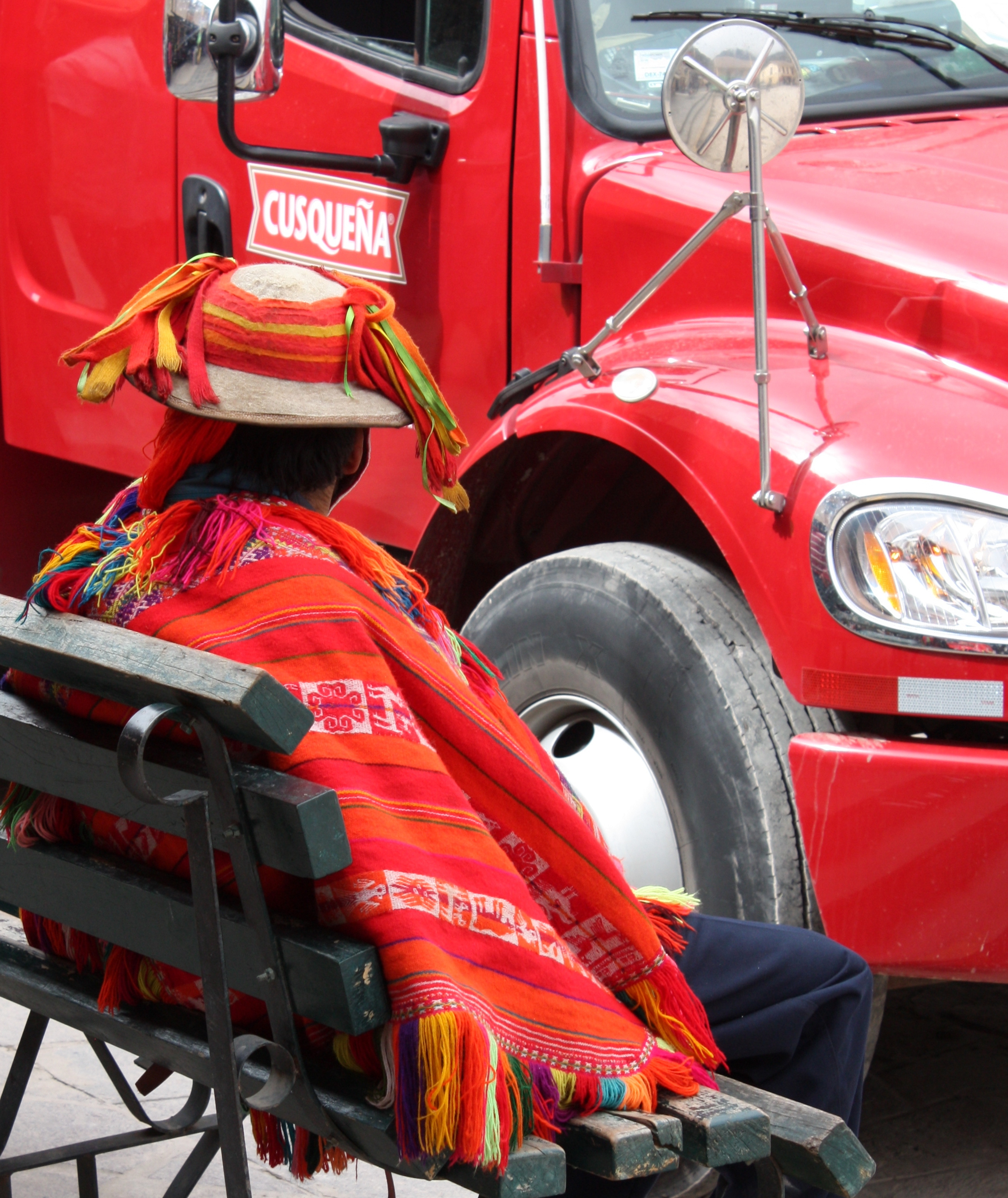
The vast Plaza de Armas is Cusco’s center and a great place to people-watch, but it’s also the address of the Cathedral of Santo Domingo and older, adjacent Iglesia del Triunfo.
The cathedral is constructed of stone scavenged from Saksaywaman, the great archeological site in the hills above the city.
This UNESCO world heritage site was once occupied by the Inca’s palace and armory. Work on the cathedral was finished more than a century after the church was completed.
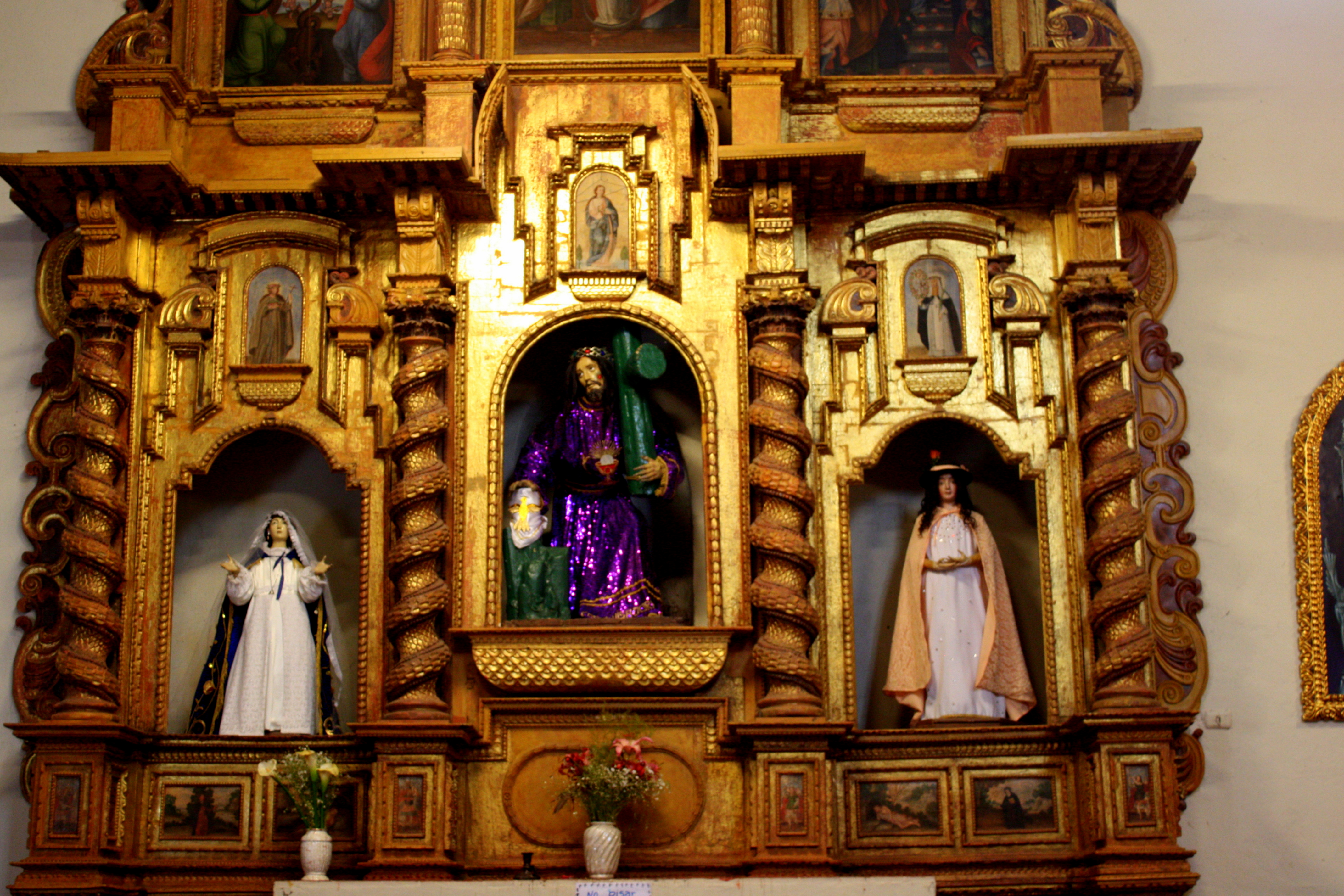
It’s now a major repository of Cusco’s colonial art, archeological artifacts, and religious relics. They’re all so fragile that photos are no long permitted… so this attraction has to be seen firsthand to be experienced, and it’s not to be missed.
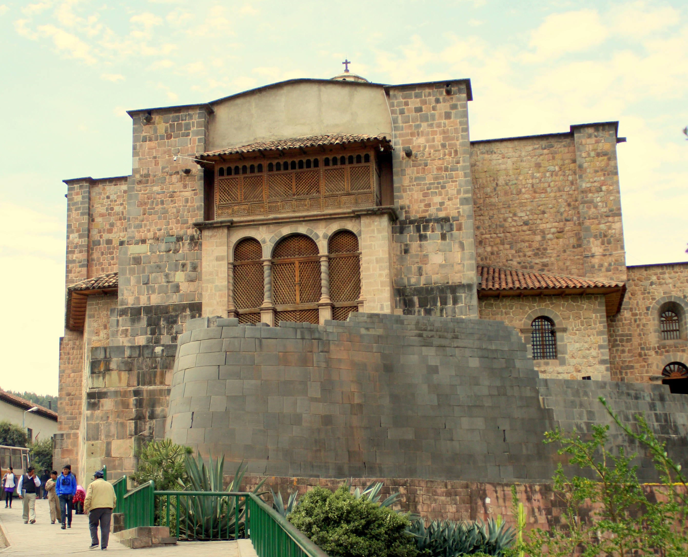
Convent & Church of Santo Domingo; site of the Qorikancha
The sprawling Convent of Santo Domingo is built upon the site of the Inca Qorikancha, a religious complex of five temples that was the spiritual heart of the empire.
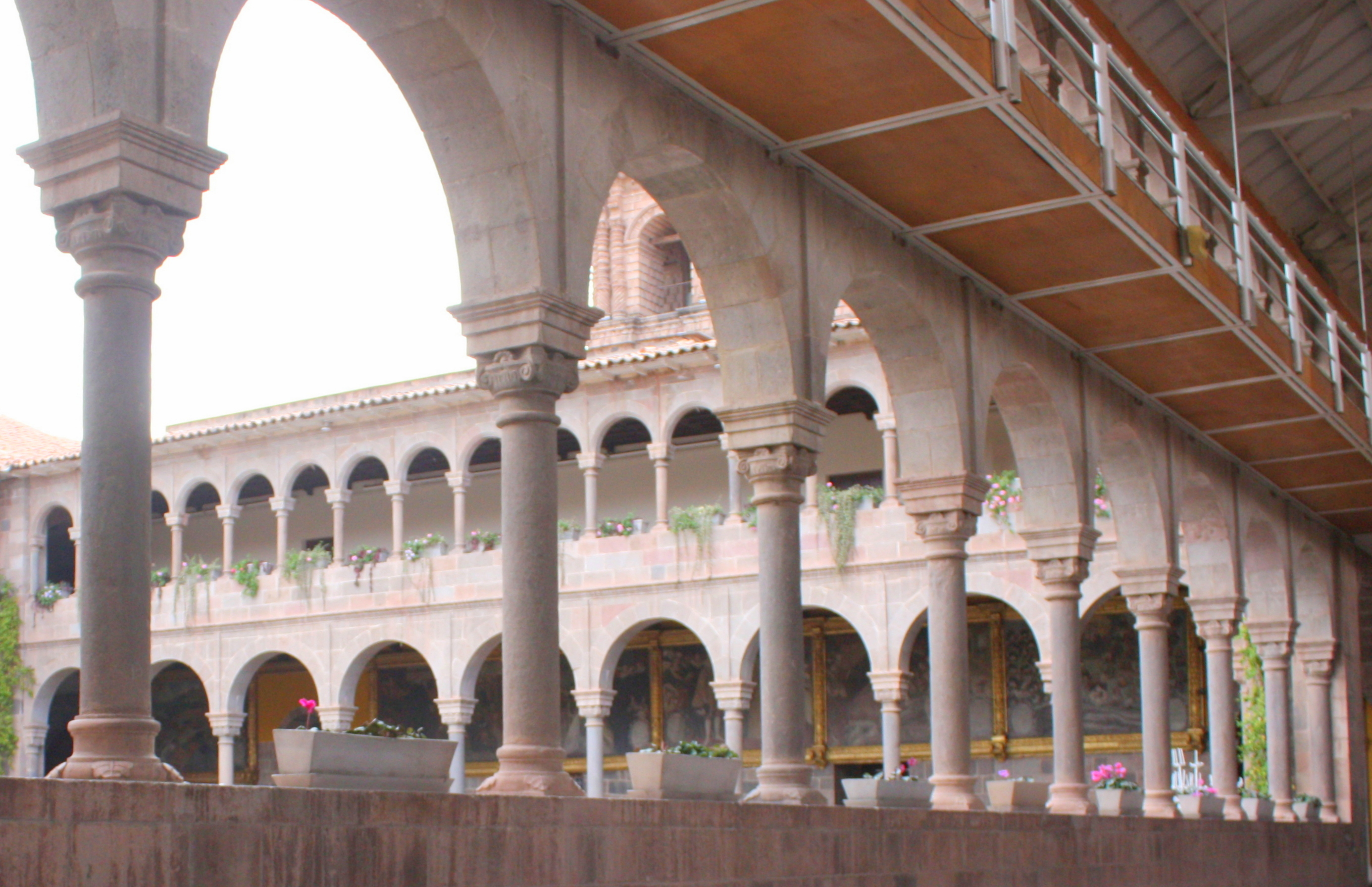
Cloistered courtyard at the Convent of Santo Domingo
Above ground, the only hint of its origins is the curved wall of perfectly fitted stones upon which the convent church now sits.
The cloistered courtyard within gives no further clues as to what lies beneath.

Inca chamber beneath the convent
In two places, though, precise construction of the original Inca chambers is laid bare.

Earthquake-proof, trapezoidal windows align perfectly
Into the perfectly formed chambers are set windows and doors that narrow from bottom to top in earthquake-resistant design.
The Inca technique for mortarless walls used stone pins and catches to bind the blocks together.
It has survived dozens of earthquakes, including the massive quake of 1650 that leveled most of the Spanish construction above it.
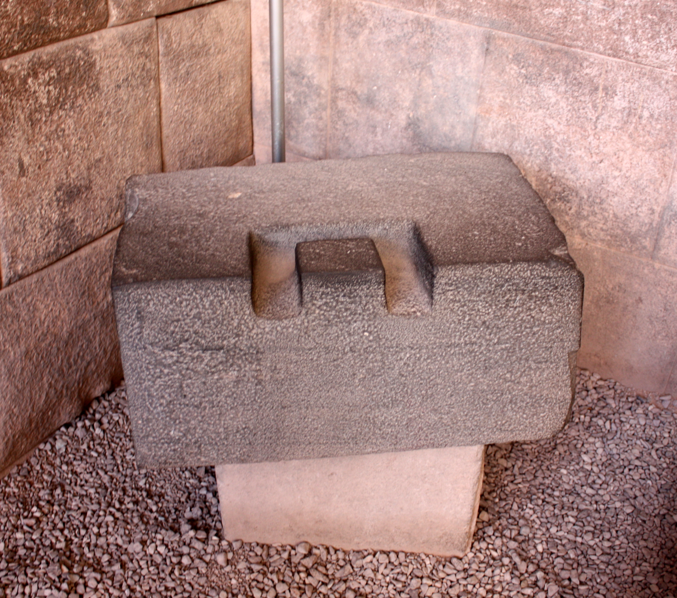
Inca mortarless block
On a gold plaque is transcribed a copy of an earlier map showing the location of all structures in the original complex.

Inca map of the Qorinkancha before the conquest.
The short walk to the Qorikancha from the city center is already halfway to Cusco’s artisan market, located at the intersection of the Avenidas del Sol and Tullumayo.

Welcoming statue at the Cusco artisans’ market.
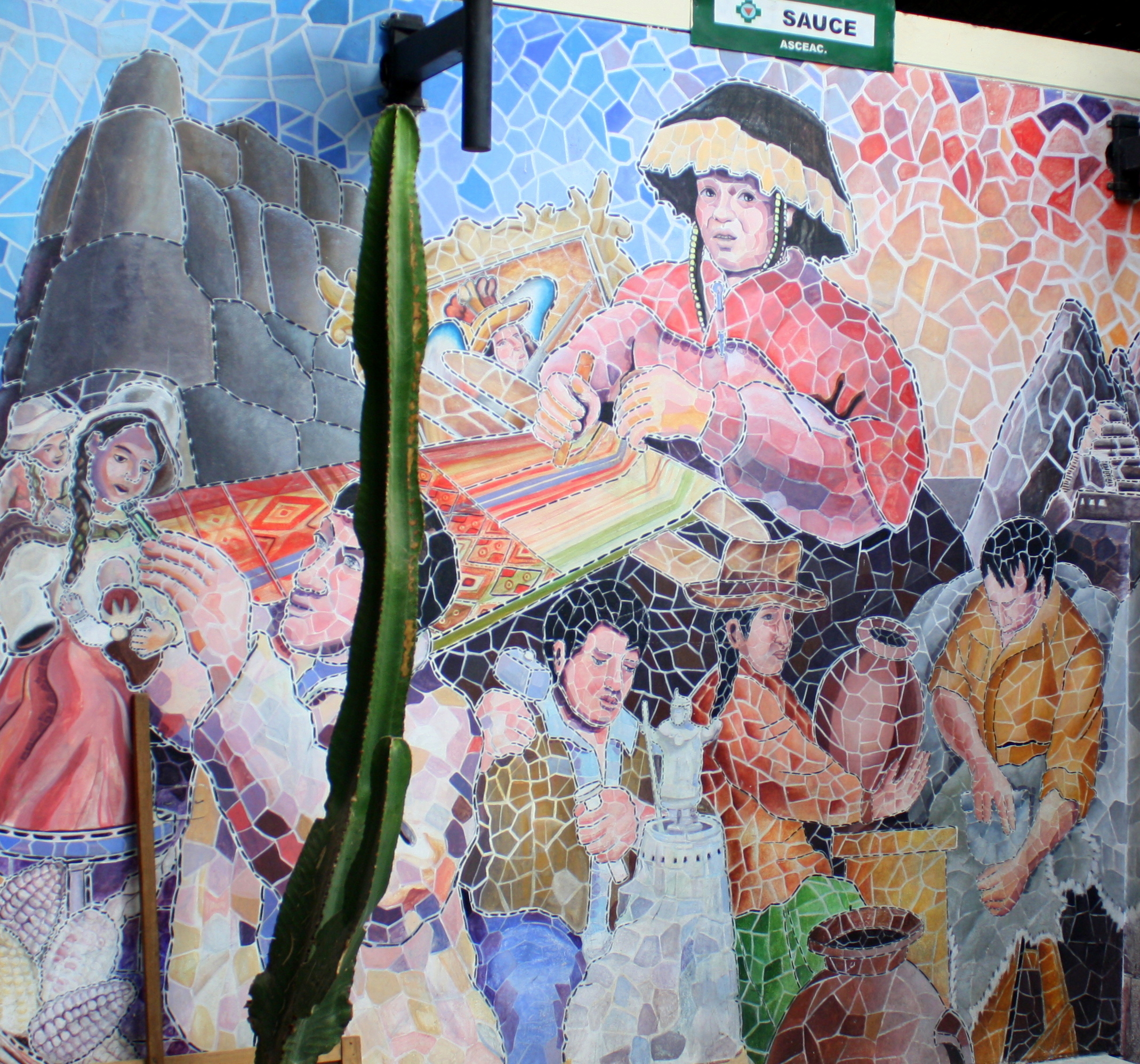
Mosaic mural at the Cusco artisans’ market.
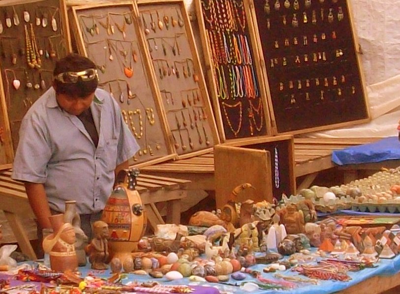
While there’s been no lack of opportunity to shop the work of local artisans elsewhere, this market houses stalls of more than 100 artisans under one roof.
It showcases work in media including textiles, leather, wood, and stone. Many can be seeing creating new works while minding their stalls.
The vendors are very engaging and the prices quite competitive. An afternoon visit is recommended, as some stalls are closed mornings.
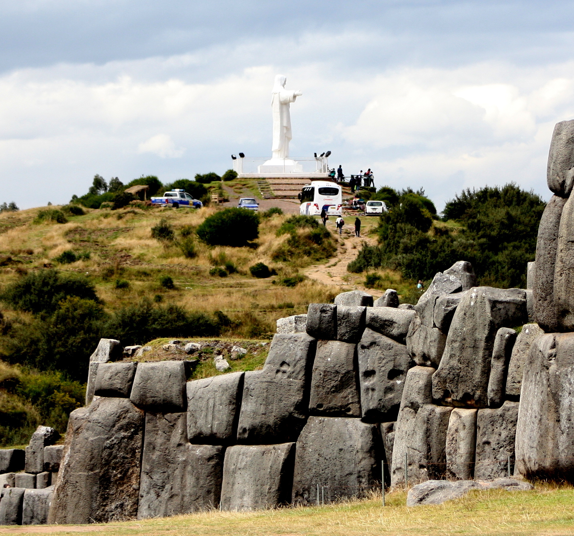
Statue of Christ overlooking Cusco at Saksaywaman.
A giant statue of Christ with arms extended looks out over Cusco from the hills above.
Behind it are the ruins of Saksaywaman, sitting astride the compass-point entrance to the Cusco which it once controlled.
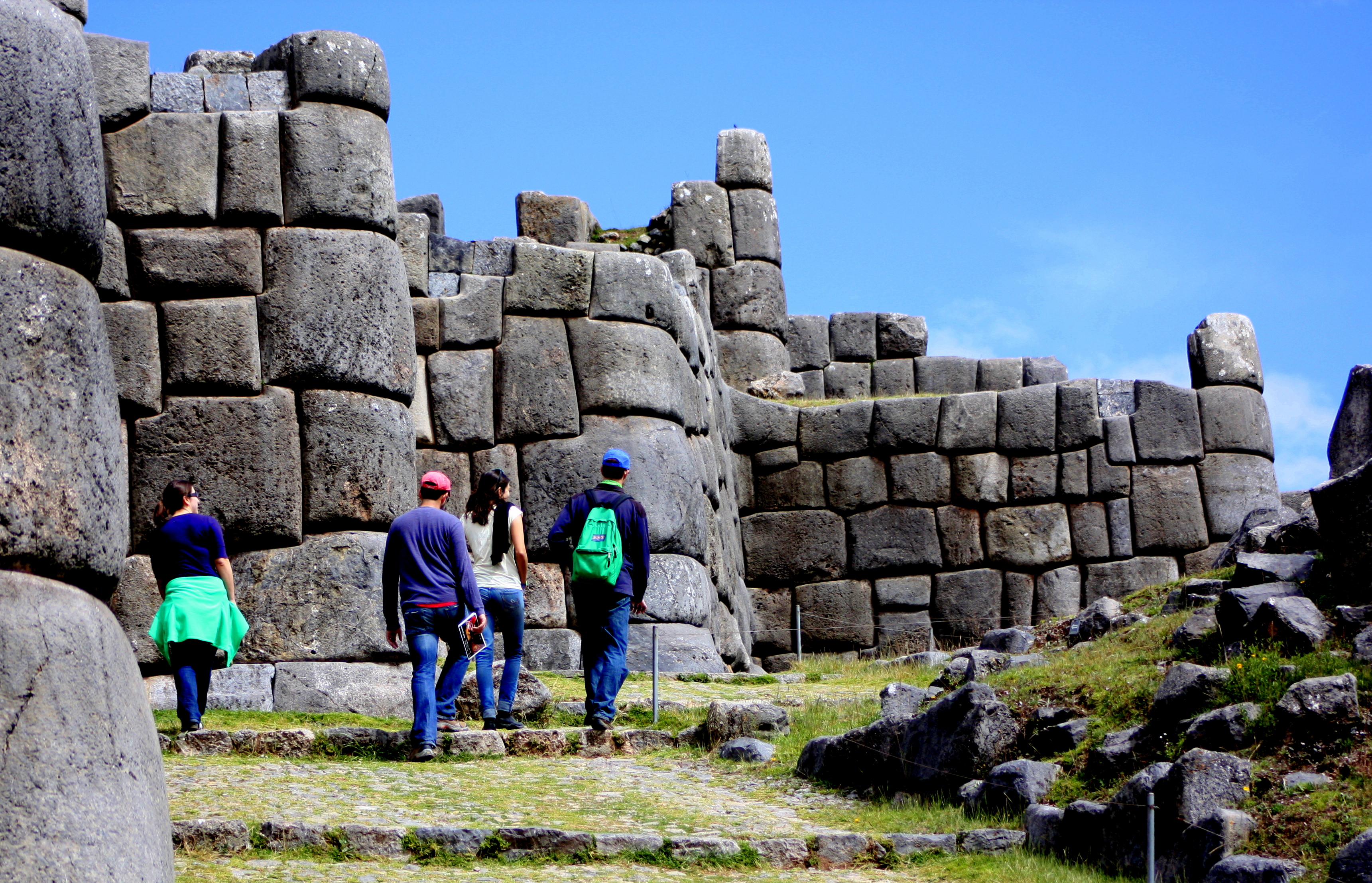
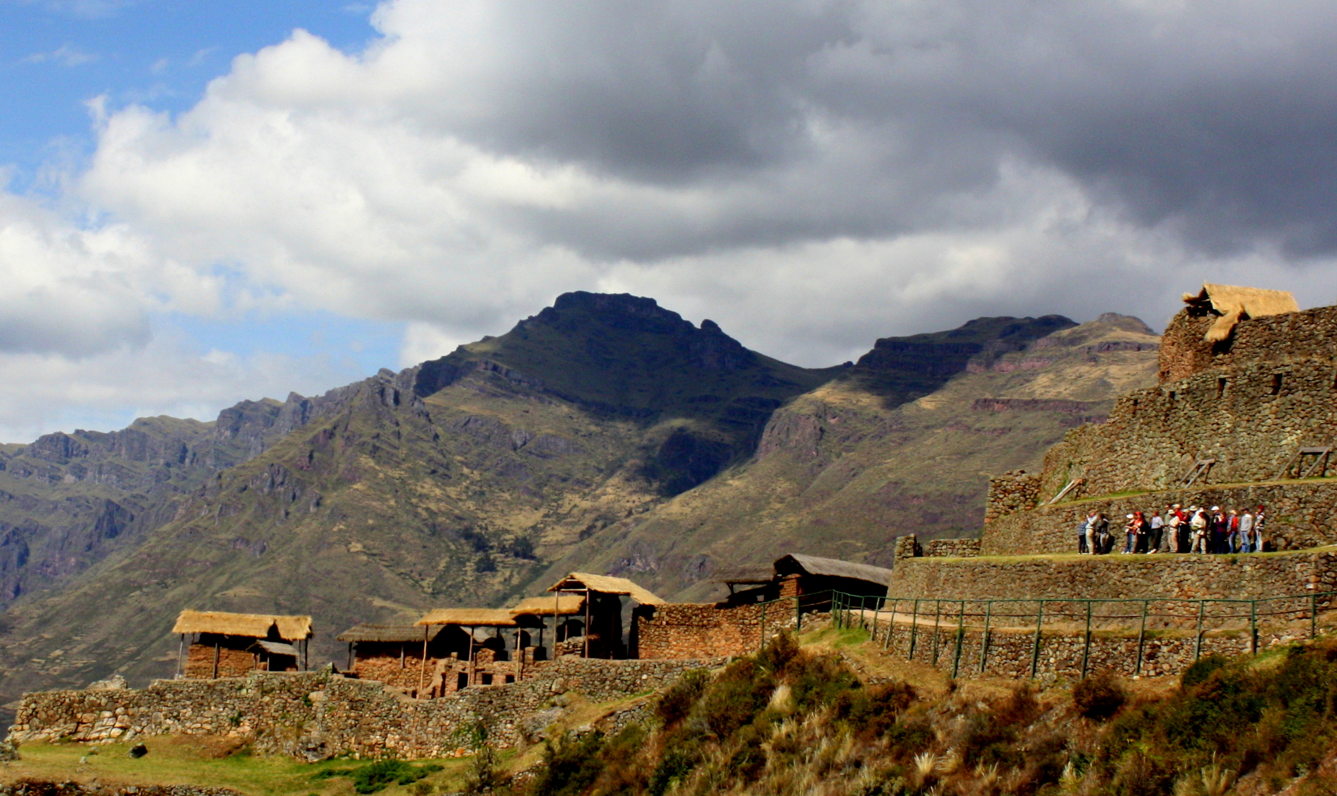
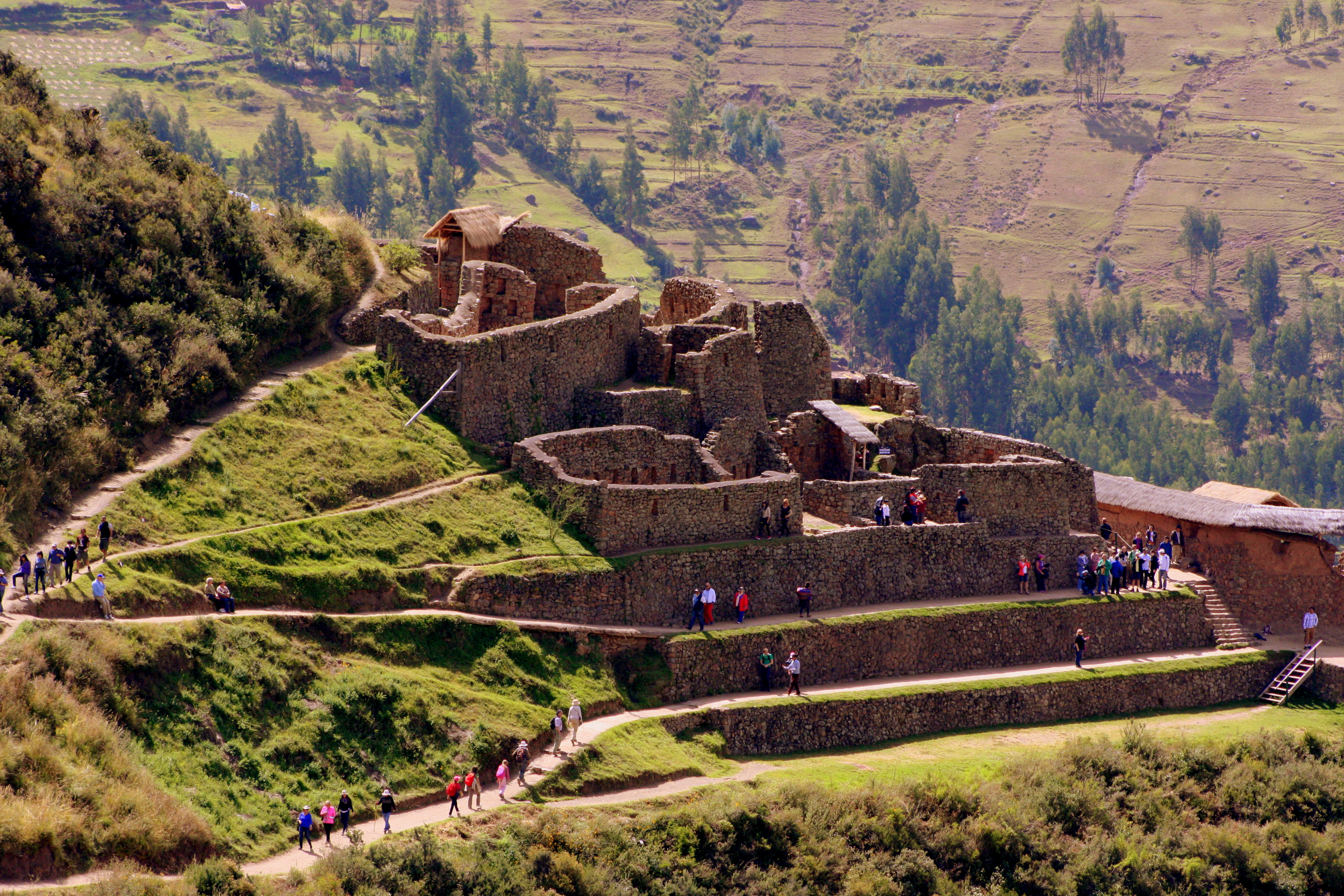
Ruins at Saksawywaman
About half an hour’s drive from the city center, this site is draped across the hills.
Significant portions remain unexcavated, so it’s not as comprehensive as archeological sites seen earlier.

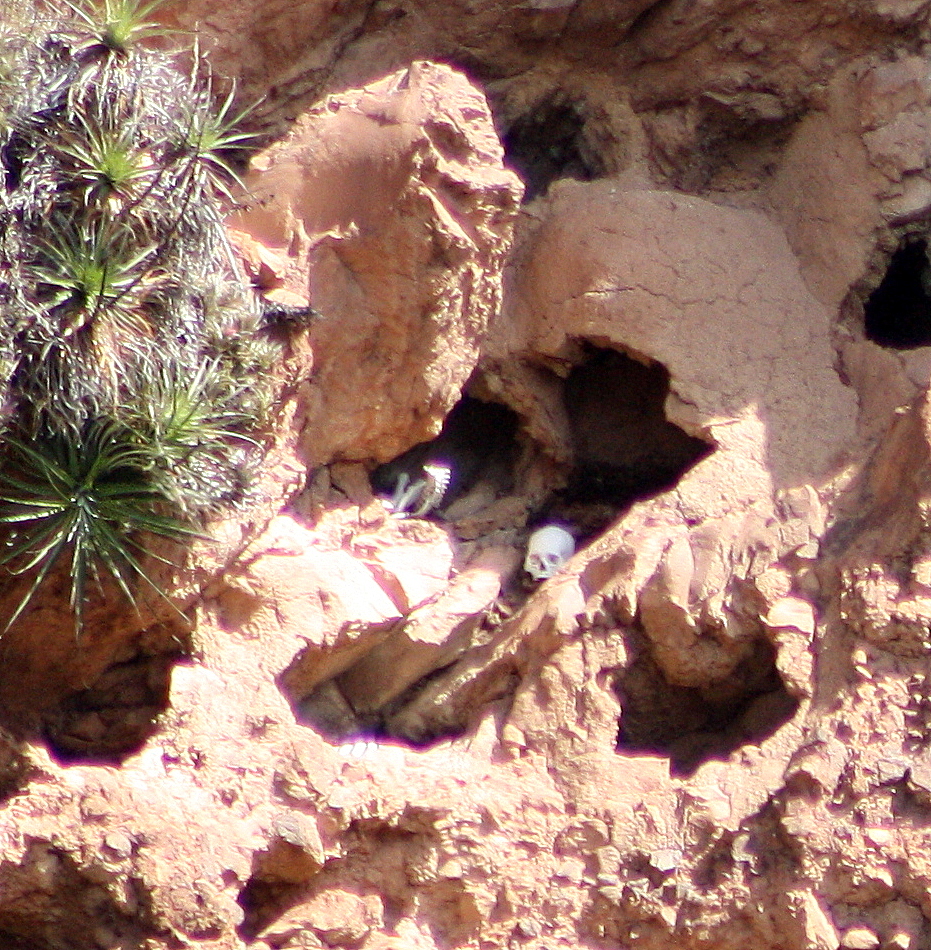
This Inca cave used the elements to cure corpses into mummies.
It does, however, boast one particularly unusual feature: An open-ended cave through which mountain breezes create a natural freeze-drying effect which the Inca found well-suited to the task of mummification.
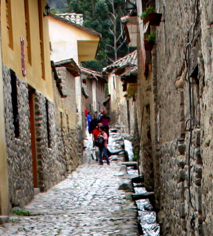
Days in Cusco may be filled with museums and monuments, but evenings are for walking the, narrow, warmly lit streets of the old town, and for checking out the great dining scene.
(There’s still plenty of time this evening to try an alpaca steak and a quinoa beer.)
Time spent in Cusco flies by, but in Peru all good things seem to lead only to more good things.
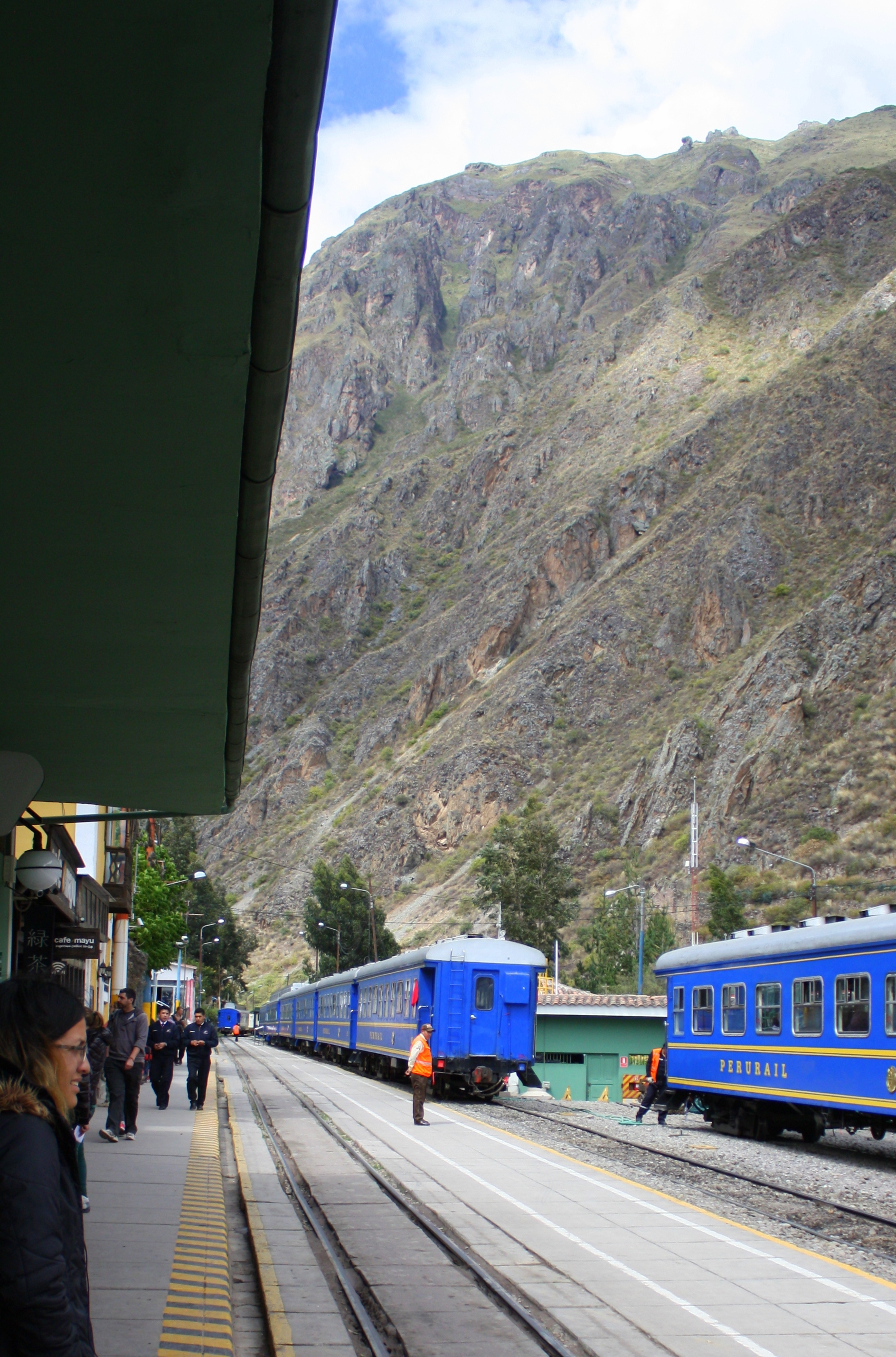
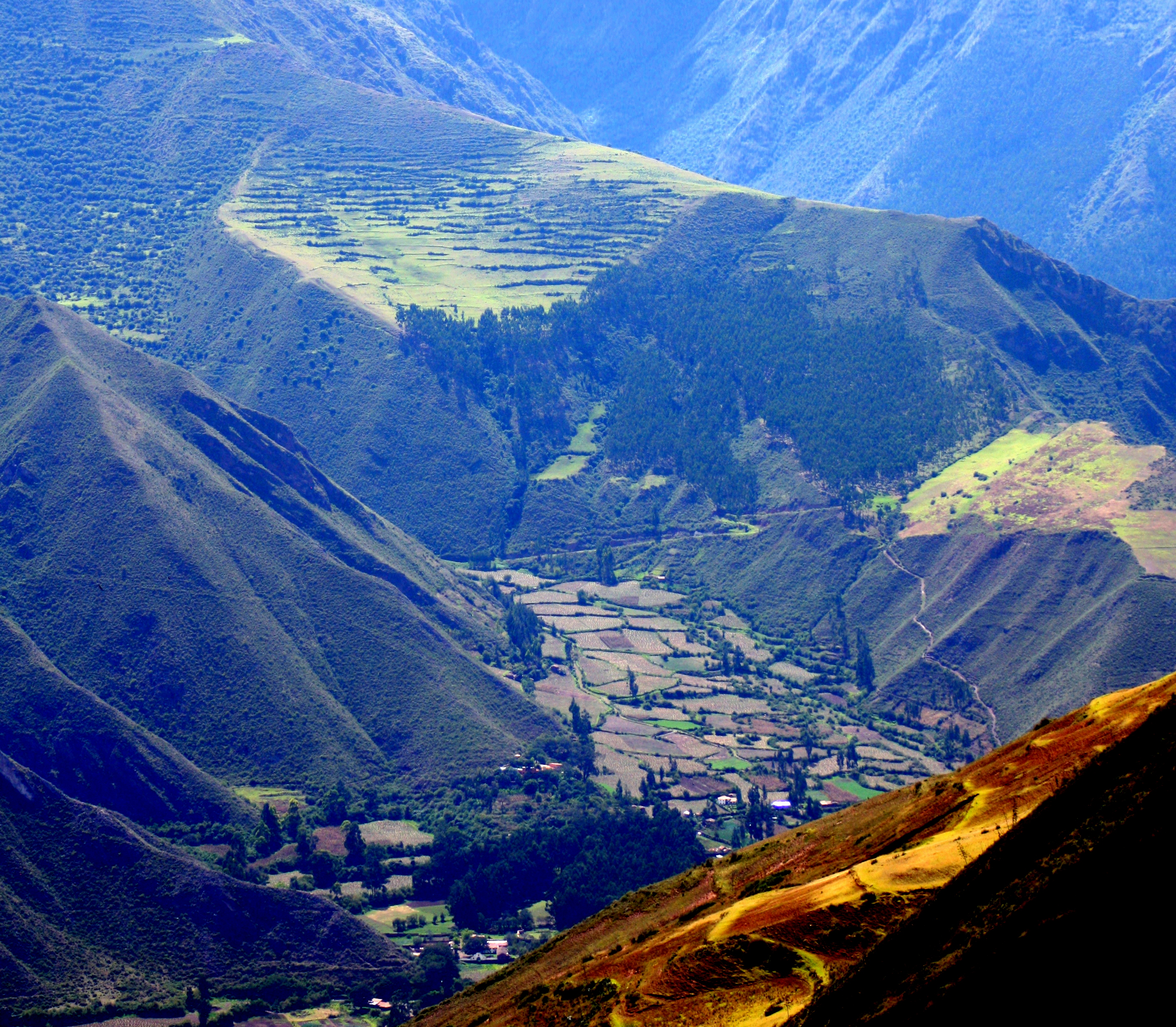
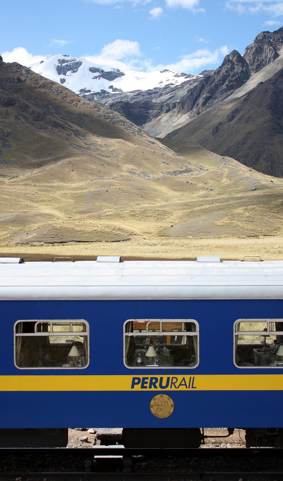
Tomorrow morning, Peru Rail’s Andean Explorer heads south on a day-long trip that follows the Urubamba River valley to its headwaters before it emerges onto the high plains. On its way to Lake Titicaca, it passes through the highest point of the trip – 14,170 feet. (The scenery will take your breath away, too!) Click here to come along for the ride.


