
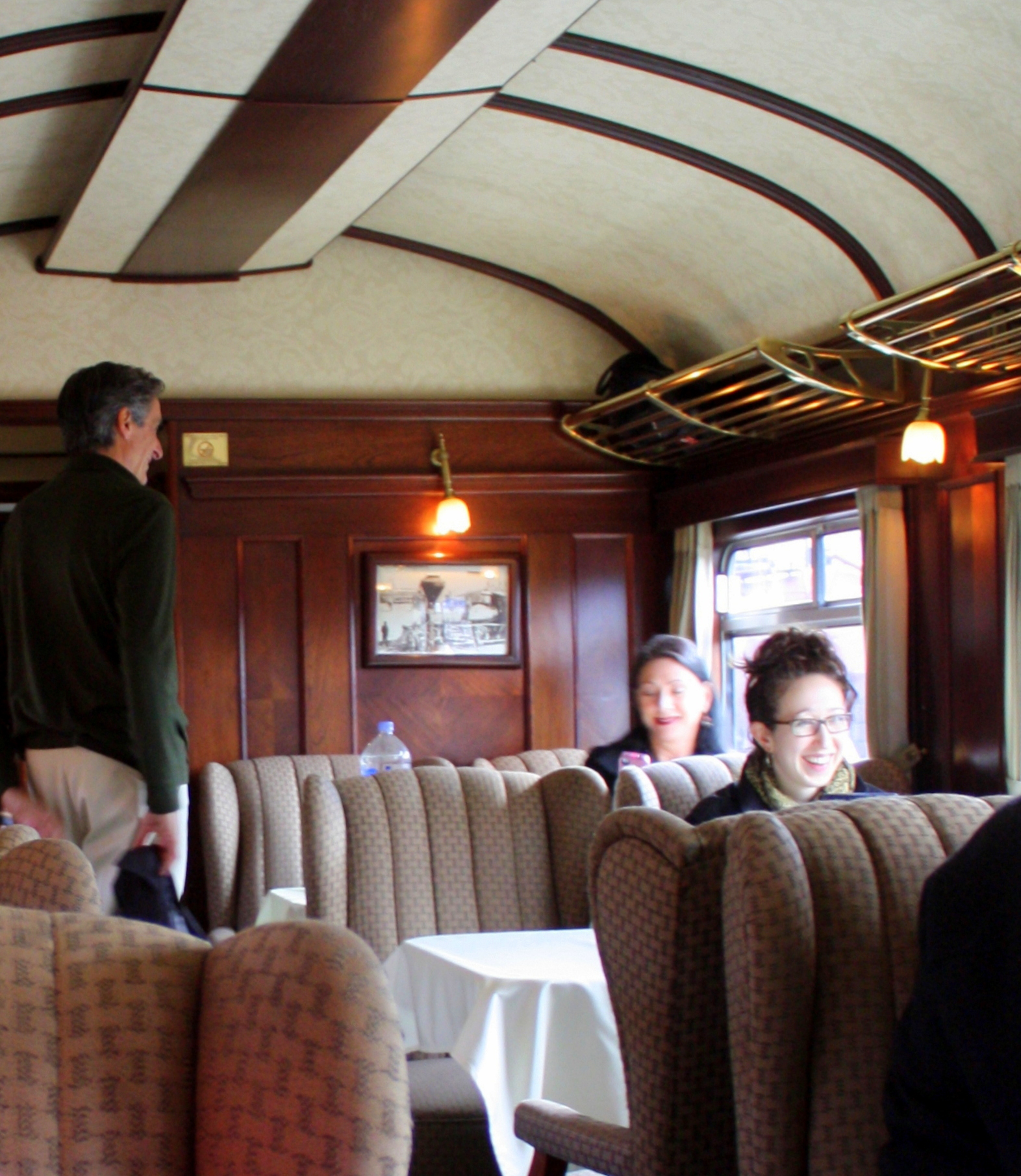
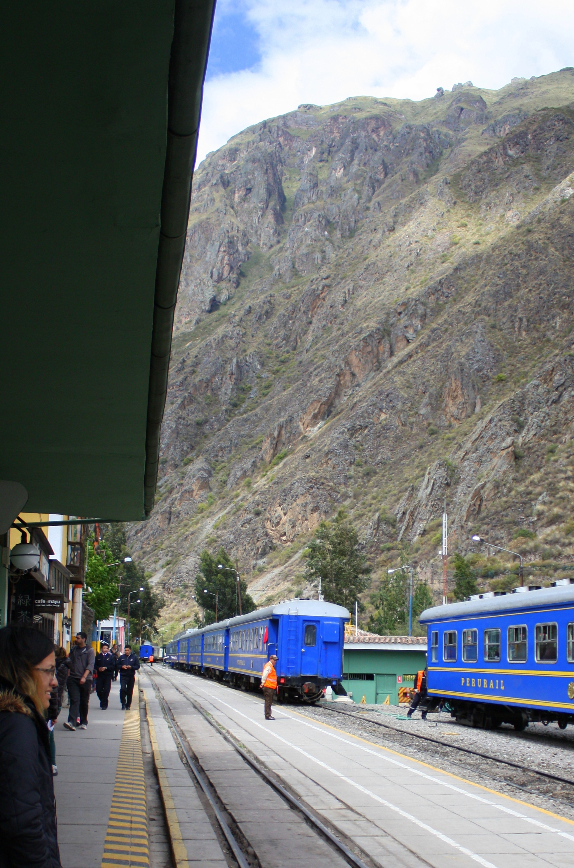
Andes Explorer passenger car
Train travel affords an opportunity to see a side of the landscape not to be otherwise seen, and by that measure Peru Rail’s Andean Express is over the top.
The train covers the 240 miles between Cusco and Puno – the jump-off point for Lake Titicaca – at a leisurely pace which allows passengers plenty of time to soak up the scenery.
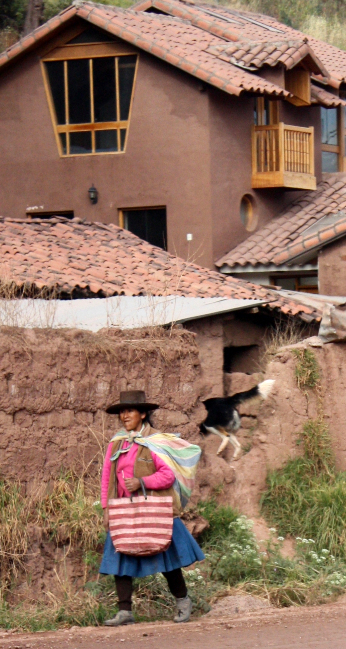
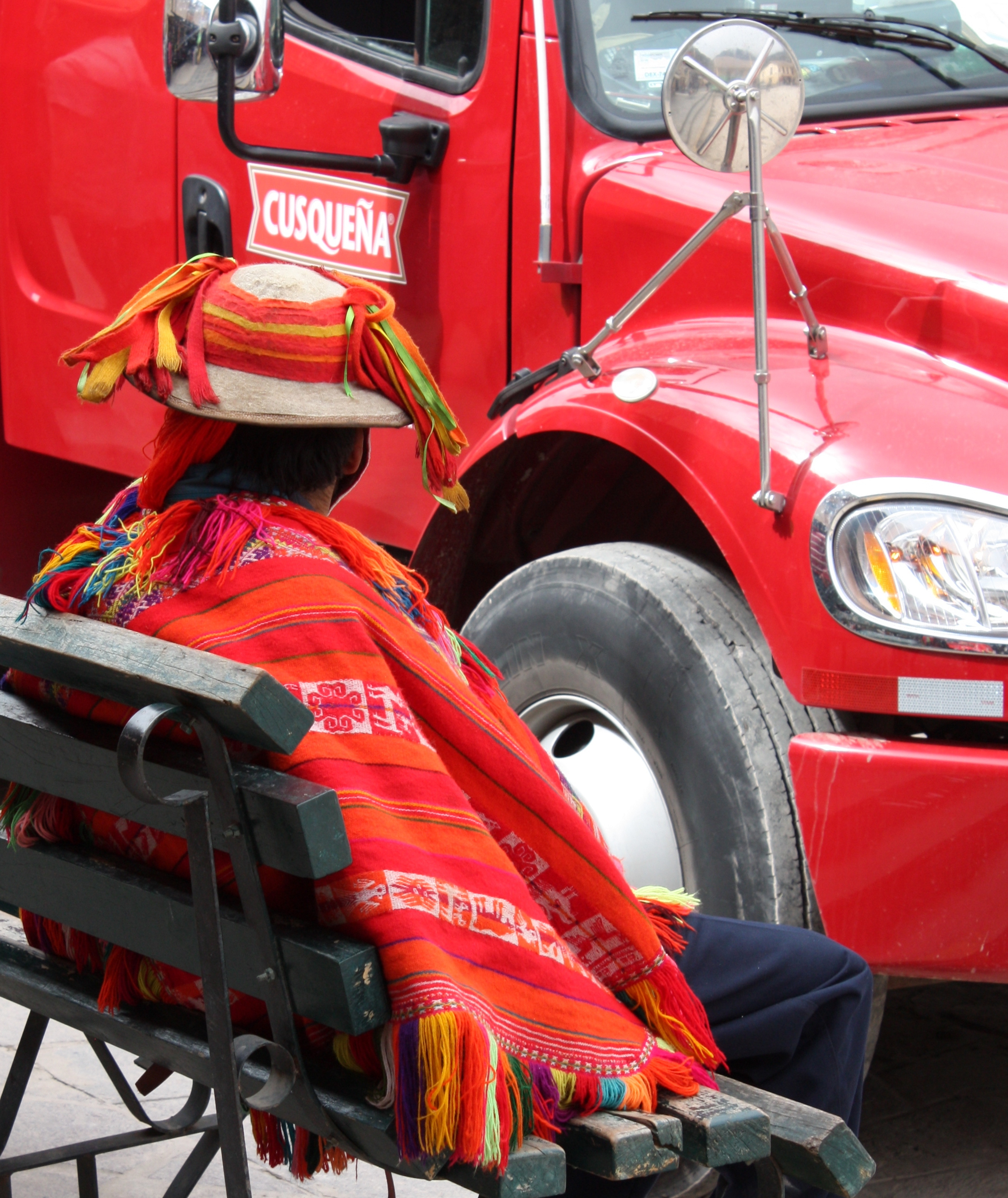
Villager seen from the Andean Explorer
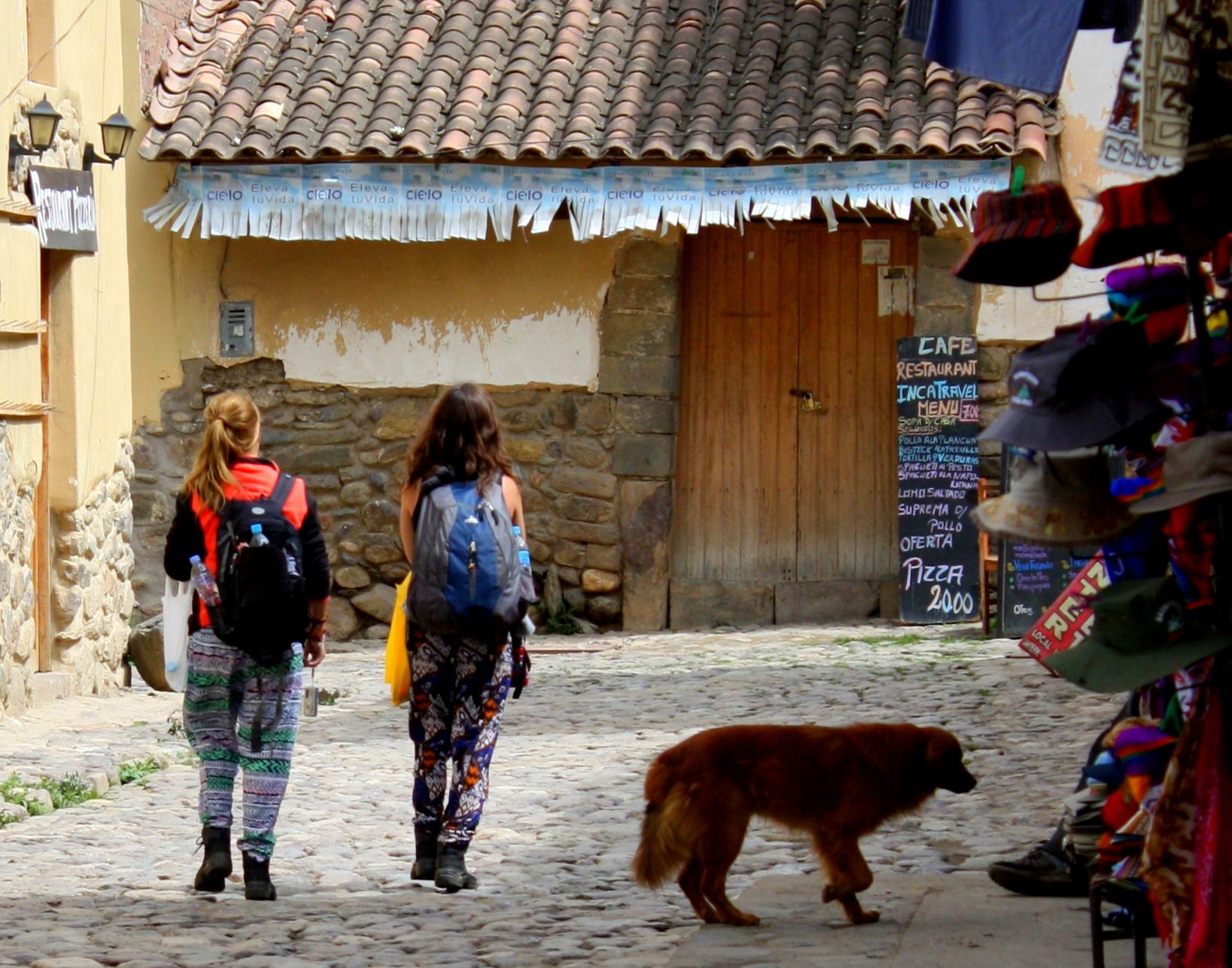
The train pulls out of the Cusco station at 8AM, and as it passes through the city, locals are eating breakfast under the canopies of sidewalk kitchens or making their way to work.
Children and adults alike wave at the train as it passes, evoking a childhood memory.
It’s no surprise that the Andean Explorer has been named one of the world’s Top 25 Trains.
It serves up the day-long trip with a level of comfort and service that recalls the golden age of train travel.
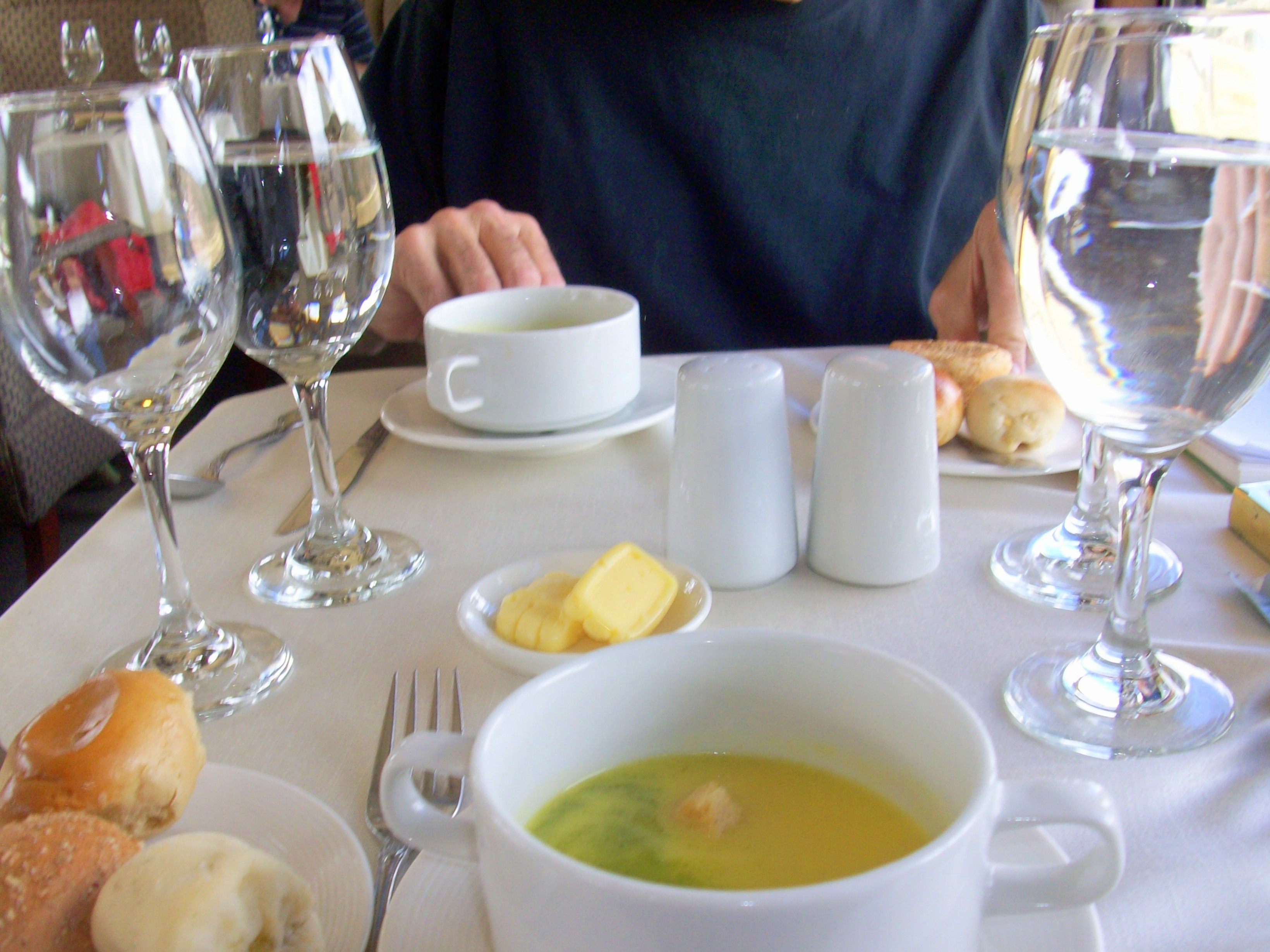
Mealtime is an event on the Andean Explorer
Armchairs and white tablecloths lend the feel of a drawing room to the passenger cars , and uniformed stewards seem ever-present.
Cocktails and high tea are served in a club car tacked onto the end of the train, but it’s the view from the car’s open-air gallery that’s truly intoxicating.
For those who are so inclined, a Happy Hour and made-in-Peru fashion show help to break up the trip.
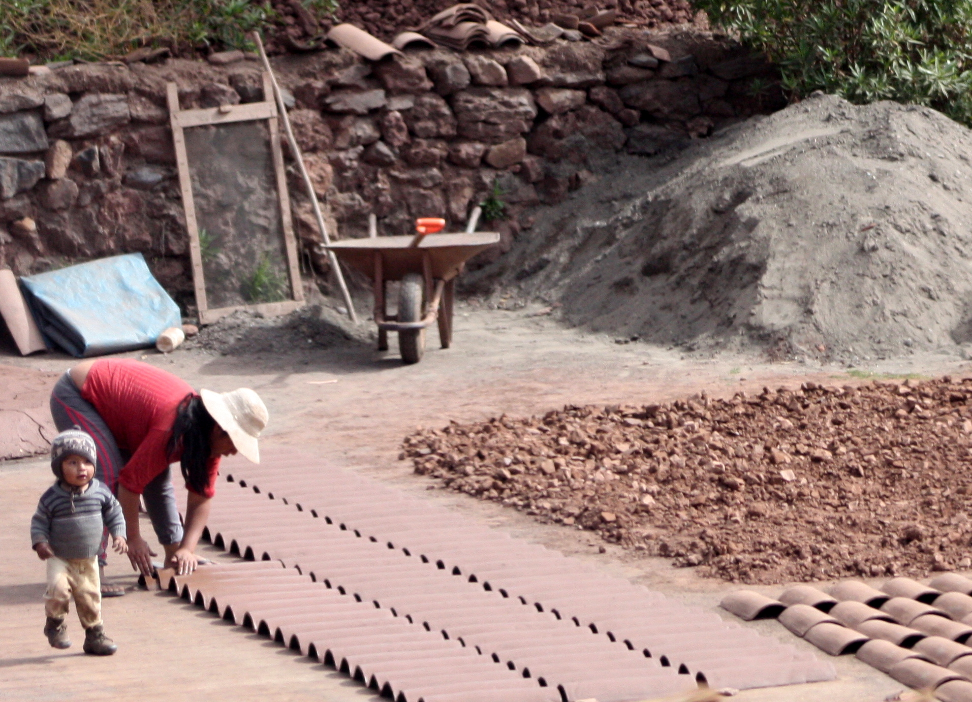
Freshly made bricks and roof tiles
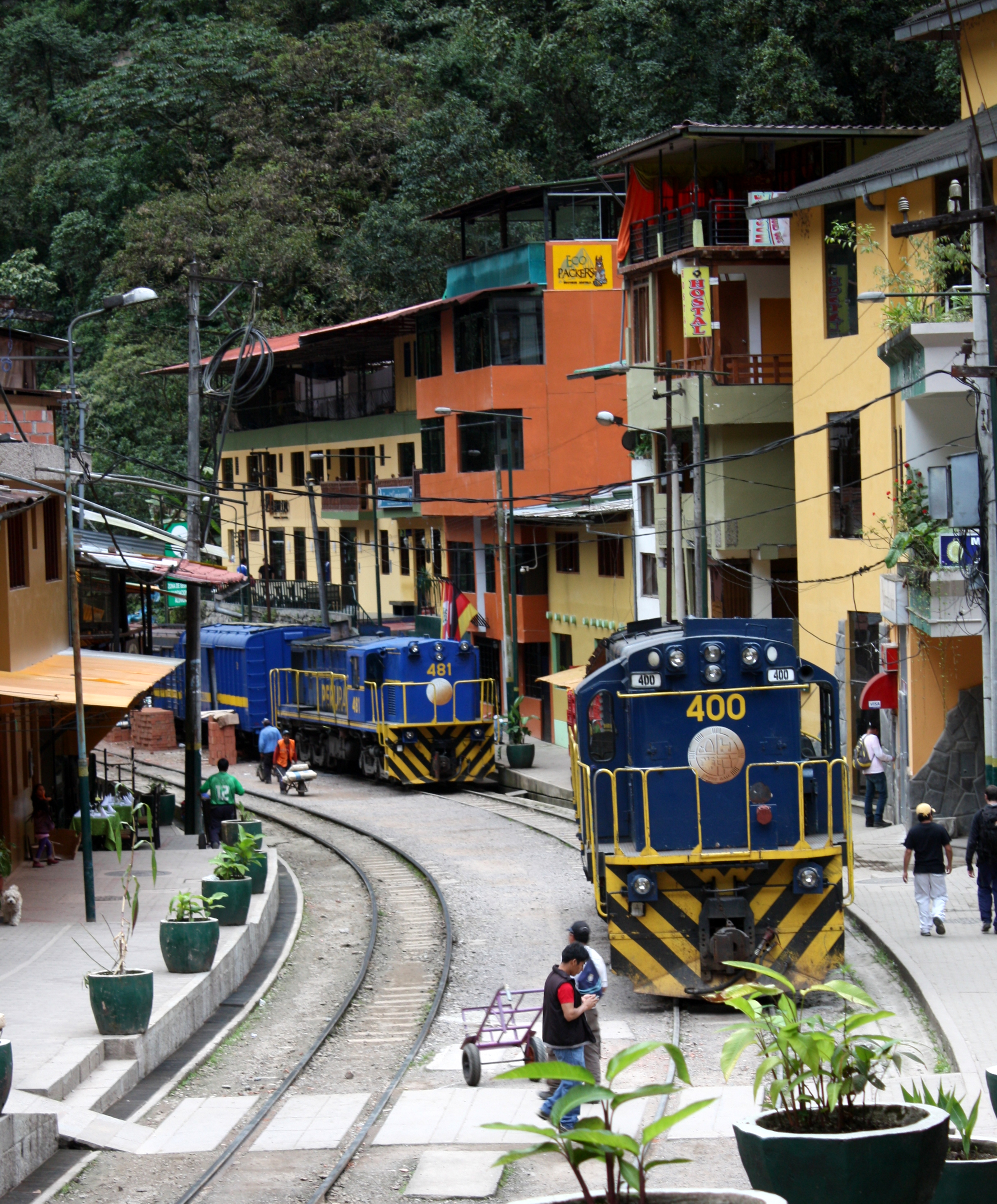
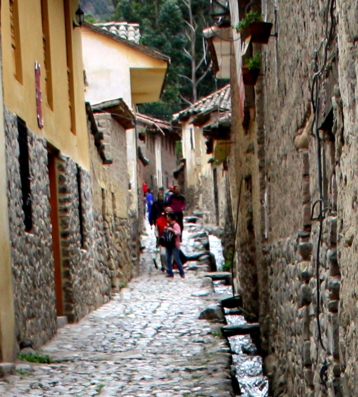
The outskirts of Cusco dissolve into small villages where all manner of enterprises have been drawn to the rails.
In some places the tracks pass through the dowdy underside of towns and in others run alongside their main streets.
Wives work side by side with their husbands in every type of endeavor from tending fields to brick making.
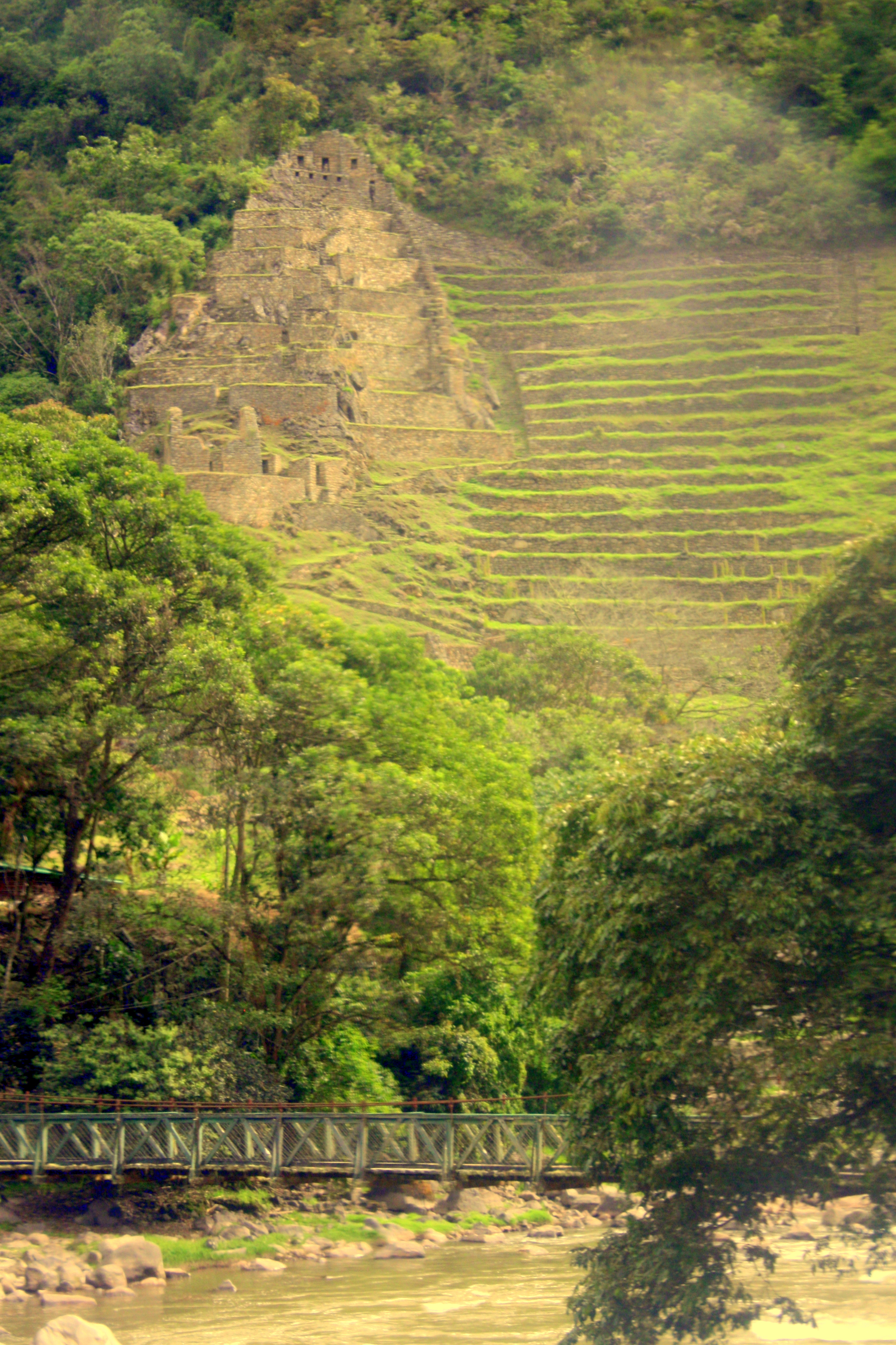
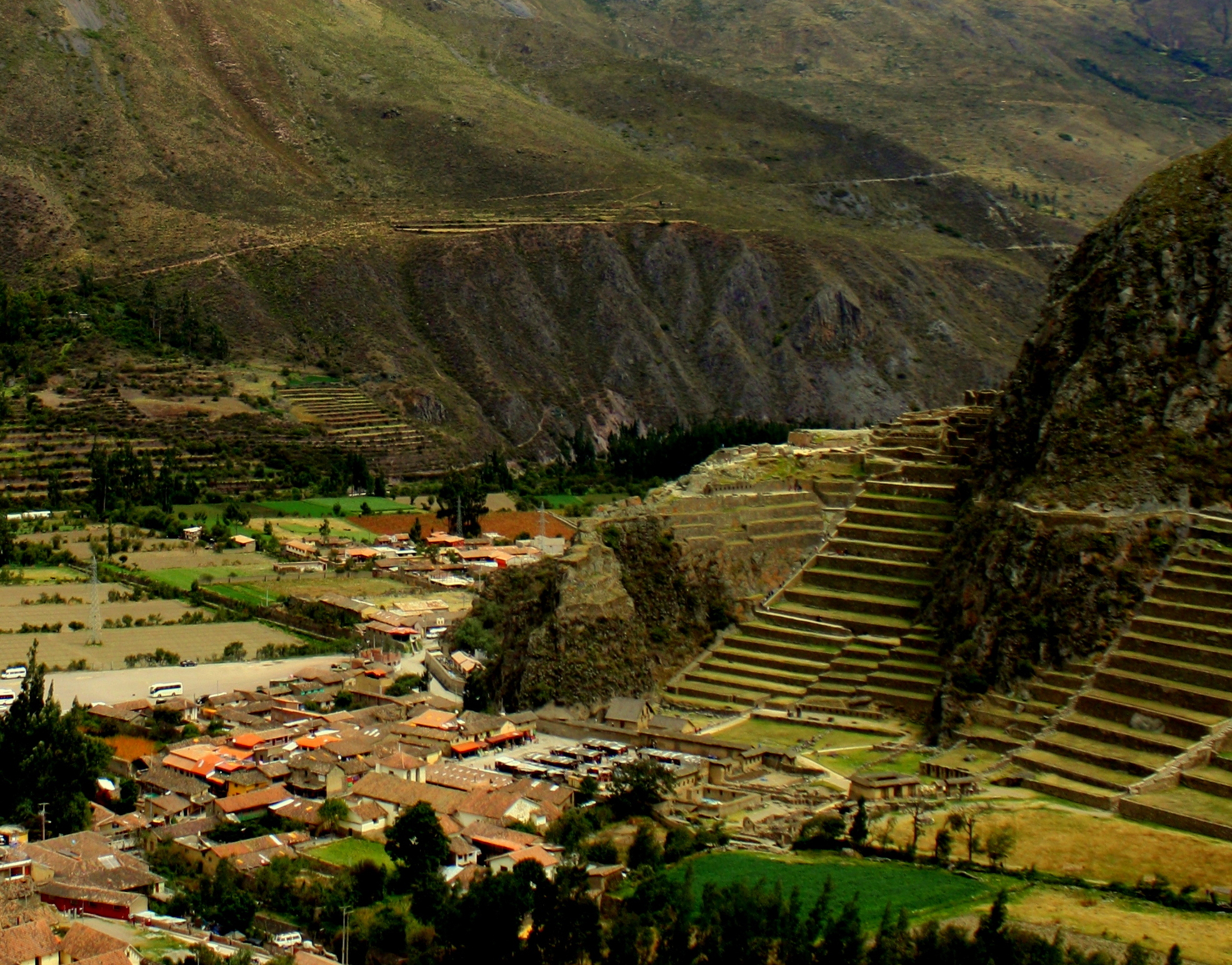
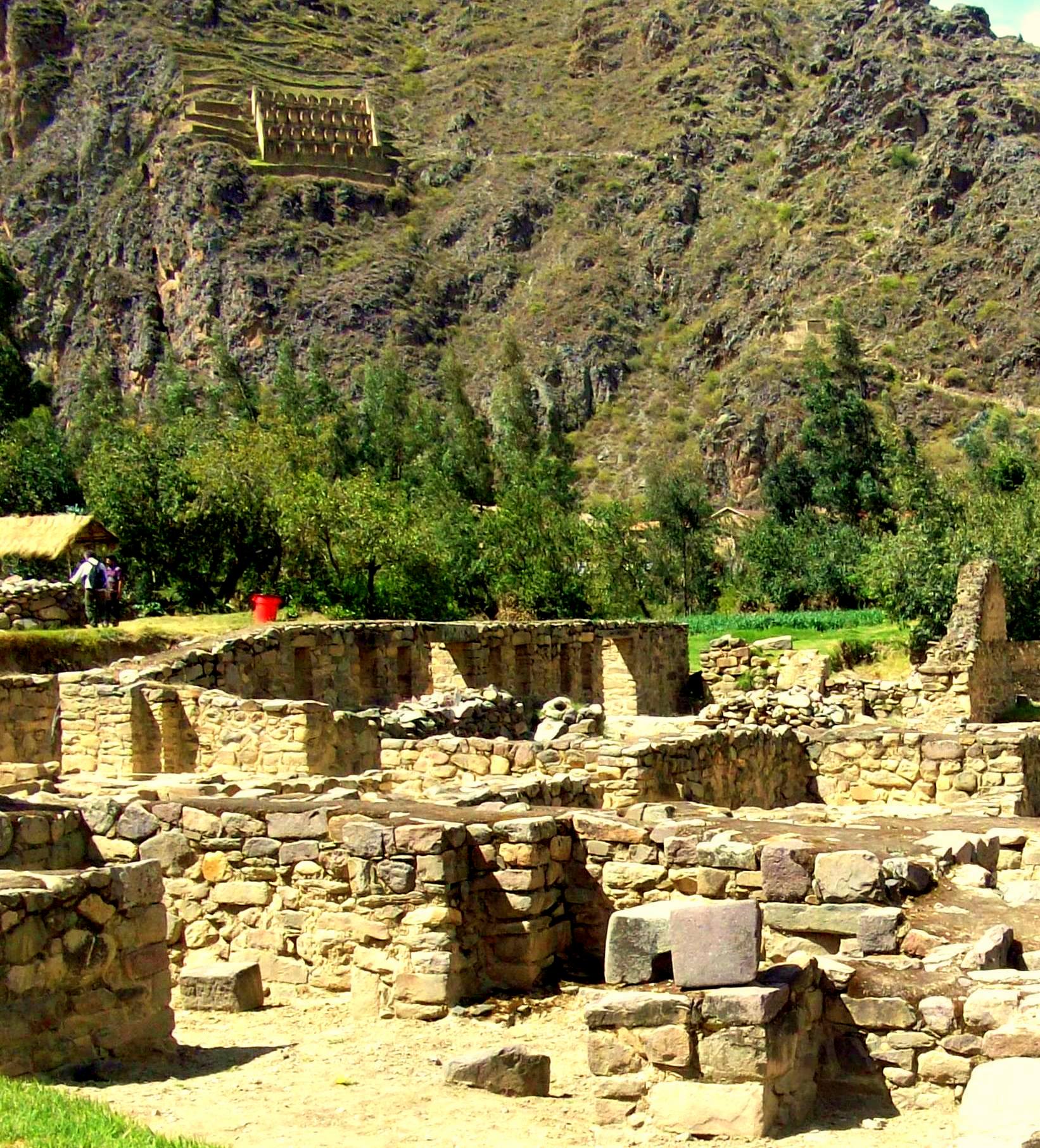
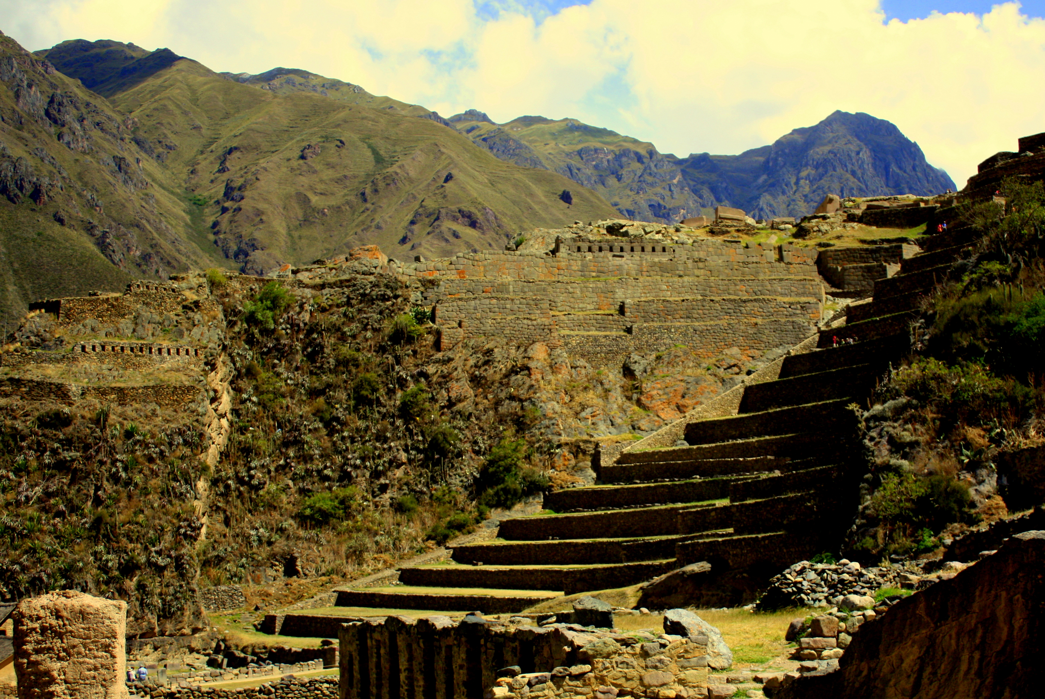
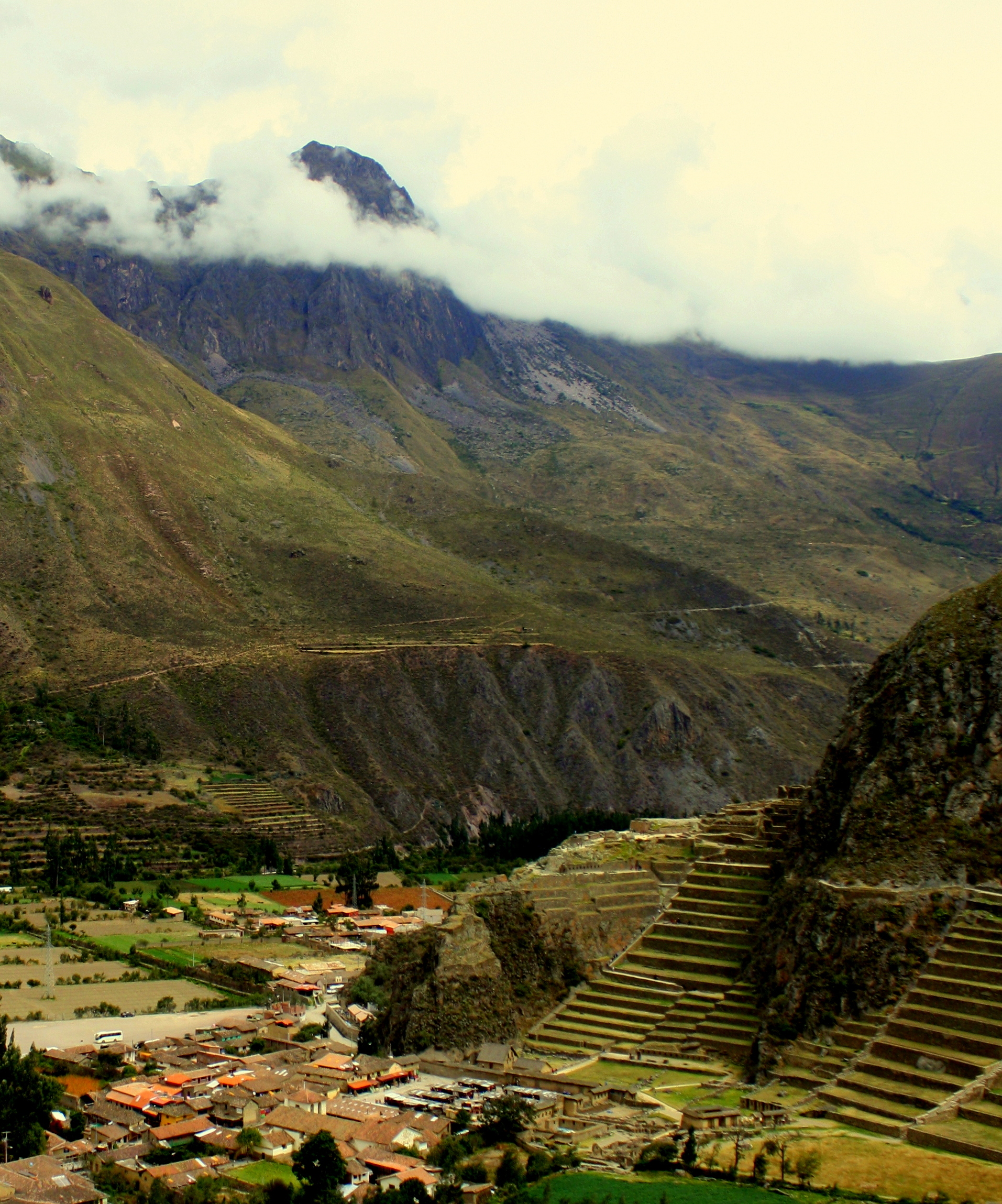
The train passes through the Rio Urubamba canyon and continues climbing away from the river’s headwaters.
Behind us, mountains loom over river and villages tucked into lush, terraced valleys, and pare the sky into slivers. Ahead of us, the landscape unfolds into a vast, arid altiplano – high plain – framed by mountains that ring the horizon as if propping up the endless sky.

Church at La Raya, Peru
Near the halfway point, the train begins to brake in what seems to be the middle of nowhere.
A small church appears as we pull to a stop in front of a bazaar that stretches alongside the track for nearly the length of the train.

Artisan vendor at La Raya, Peru
This is La Raya, and at more than 14,000 feet above sea level it’s the highest point on the route, and the divide beyond which water no longer flows toward the Urubamba and Amazon, but instead toward the Pacific Ocean. To the north are mostly Quechua-speaking peoples and to the south – and into Bolivia – the native tongue is Aymara.

Artisan vendor at La Raya, Peru

Artisan market and Andean Explorer, La Raya, Peru
As I step off the train and begin wandering among the artisans, Cusco’s 11,000 foot altitude suddenly feels like child’s play.
The stopover is brief, and it’s a bit like watching a speed-dating event as everyone tries to strike a deal.
The quality and variety of the work – mostly textiles – is good, and since only one train passes through each day, the vendors are highly motivated.

Couple working their fields near La Raya, Peru
Beyond La Raya, the route passes through agricultural villages separated by grazing animals and the stubble of recently harvested fields. Couples labor together on their land.

Motorcycle taxi waits at a railroad crossing.
Motorcycle taxis wait at crossings for the train to pass.

Bicyclist alongside the tracks of the Andean Explorer
A bicyclist paces the train for a while before falling behind.
About an hour before its arrival, the train passes through Juliaca, home of the airport nearest to Lake Titicaca. It’s about 10 blocks to the harbor from the Puno train station, and the hotel zone and central plaza are even closer.
Tomorrow begins with a boat trip to the floating Uros Islands. Click here to come along!
Tip: The view from seats on the west side of the train is significantly more interesting, particularly on the segment through the Urubamba canyon.


