
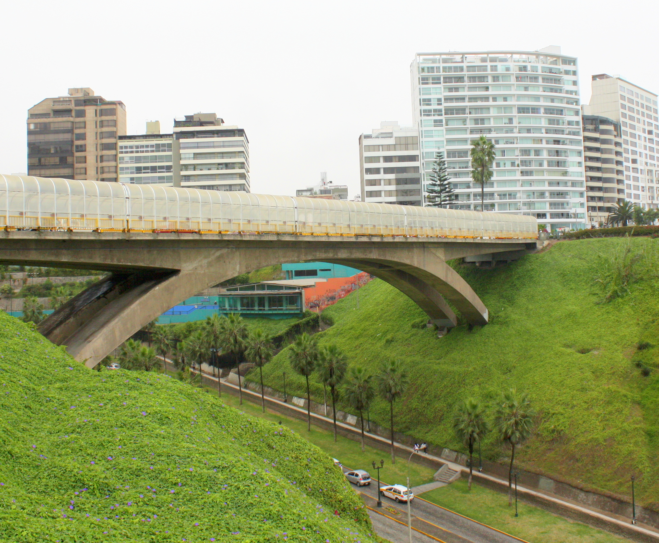
“Suicide Bridge” in Miraflores District, Lima. Fences later installed prevent future jumps.
Machu Picchu visitors who treat Lima as no more than an airline connection are missing an essential part of the Peruvian experience.
There is easily enough to see and do in Perú’s capital to warrant spending a couple of days.
Lima is the only capital city in the Americas that sits directly on the Pacific coast, and the distinction has markedly shaped its culture.

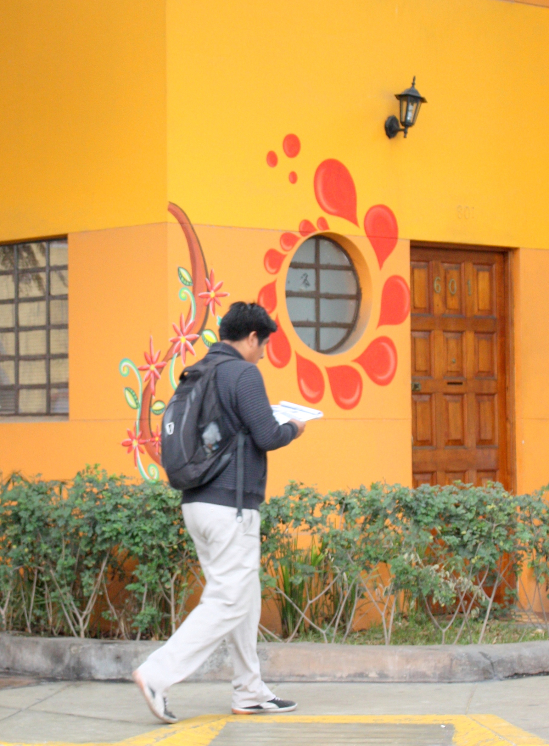
One of Lima’s many boulevard sidewalks
Fresh seafood, meticulously prepared and served up in eye-popping presentations, is widely available, and here in the land of its origin, the ceviche is incomparable.
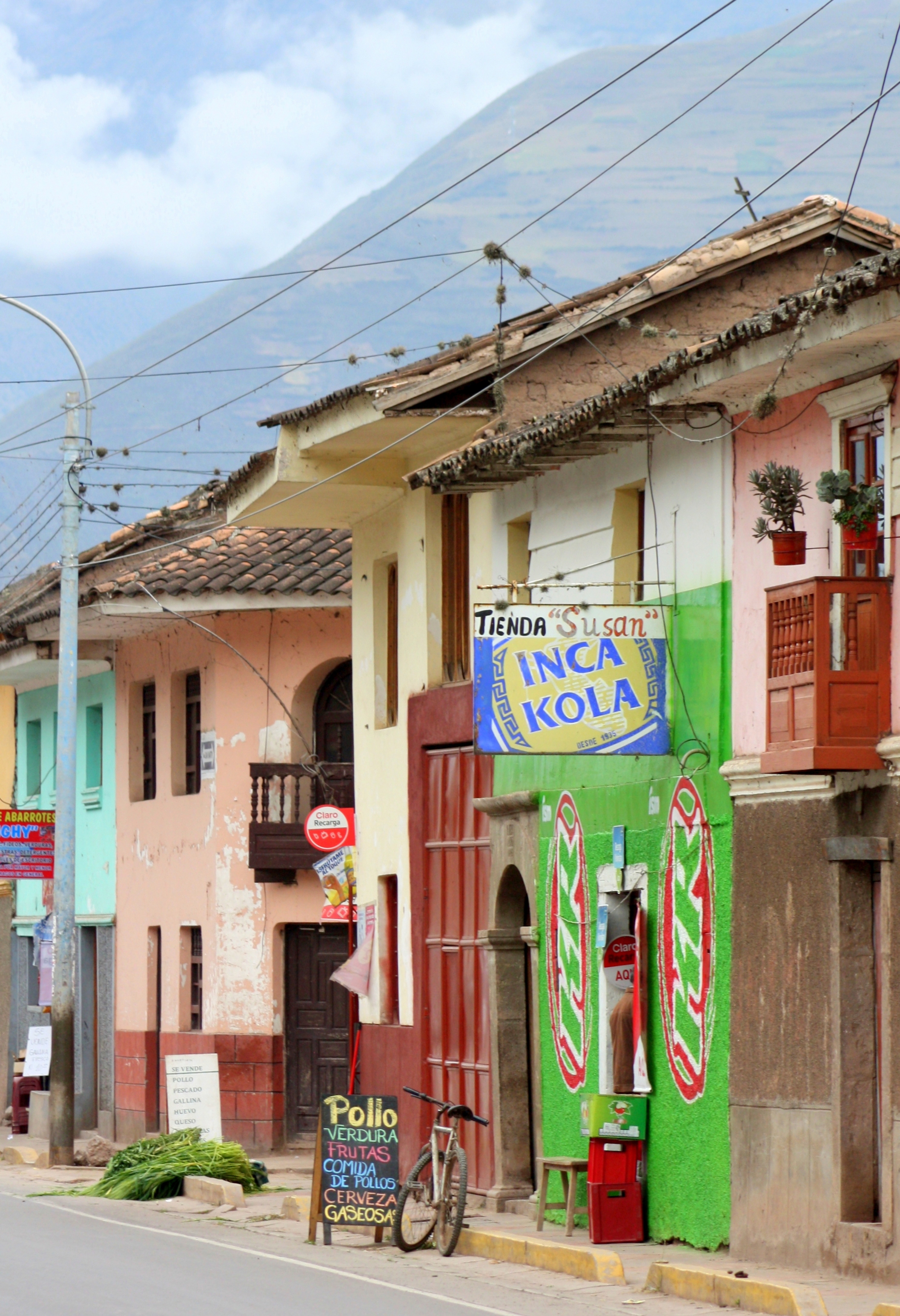
The Cantonese-Peruvian fusion cuisine known as “chifa” has its origin in Chinese immigrants who came as railroad builders and agricultural workers around the turn of the twentieth century.
Today the Chinese commercial influence is evident in everything from consumer goods to the maker’s mark on the city’s busses.

Lima oceanfront facing south
In the fifteen years since the government prevailed over the Sendero Luminoso and Túpac Amaru terrorists, Lima has enjoyed a stability and increasing prosperity that’s visible everywhere.
The Limeños I talked with not only shared the belief that their lives were better than ten years ago, but that they felt optimistic about their futures.

Homes in Miraflores District, LIma
The new prosperity has spawned world-class restaurants and hotels clustered around charming residential neighborhoods that range in architectural styles from historic to contemporary.
The prosperity is also fueling highway improvements and flood control projects throughout Perú.
In Lima, improvements include a subway system on which ground is newly broken, and ongoing land reclamation that continues to extend a string of public beachfront parks already close to ten miles long.

Bicycle rental stand on the oceanfront
Whether you choose to walk, job, cycle, or surf them, their pull is irresistible.
The Miraflores District, situated south of the city center along the coast, is home to some of the city’s most elegant and historic homes.
More recently built high rises and townhomes reflect the new prosperity.
The neighborhood is clean, secure, and eminently walkable. It’s also home to some of the city’s best restaurants and hotels. English is spoken in most of these. and staff is consistently friendly and helpful.
Contemporary home in Miraflores District, LIma

Classic home in Miraflores District, LIma

Surfers brave the waves in the height of winter
Lima is 800 miles south of the equator, so it’s autumn during this May visit.
While skies are often overcast, evenings require only a light jacket or sweater.
Not so for ocean temperatures, and the surfers are all wet-suited.

Surfers suit up only feet away from a tsunami escape route sign.
Tsunami escape route signs all along the beach below remind all of the ever-present danger.
Lima hasn’t experienced a tsunami since the 8.2 magnitude earthquake of 1940.
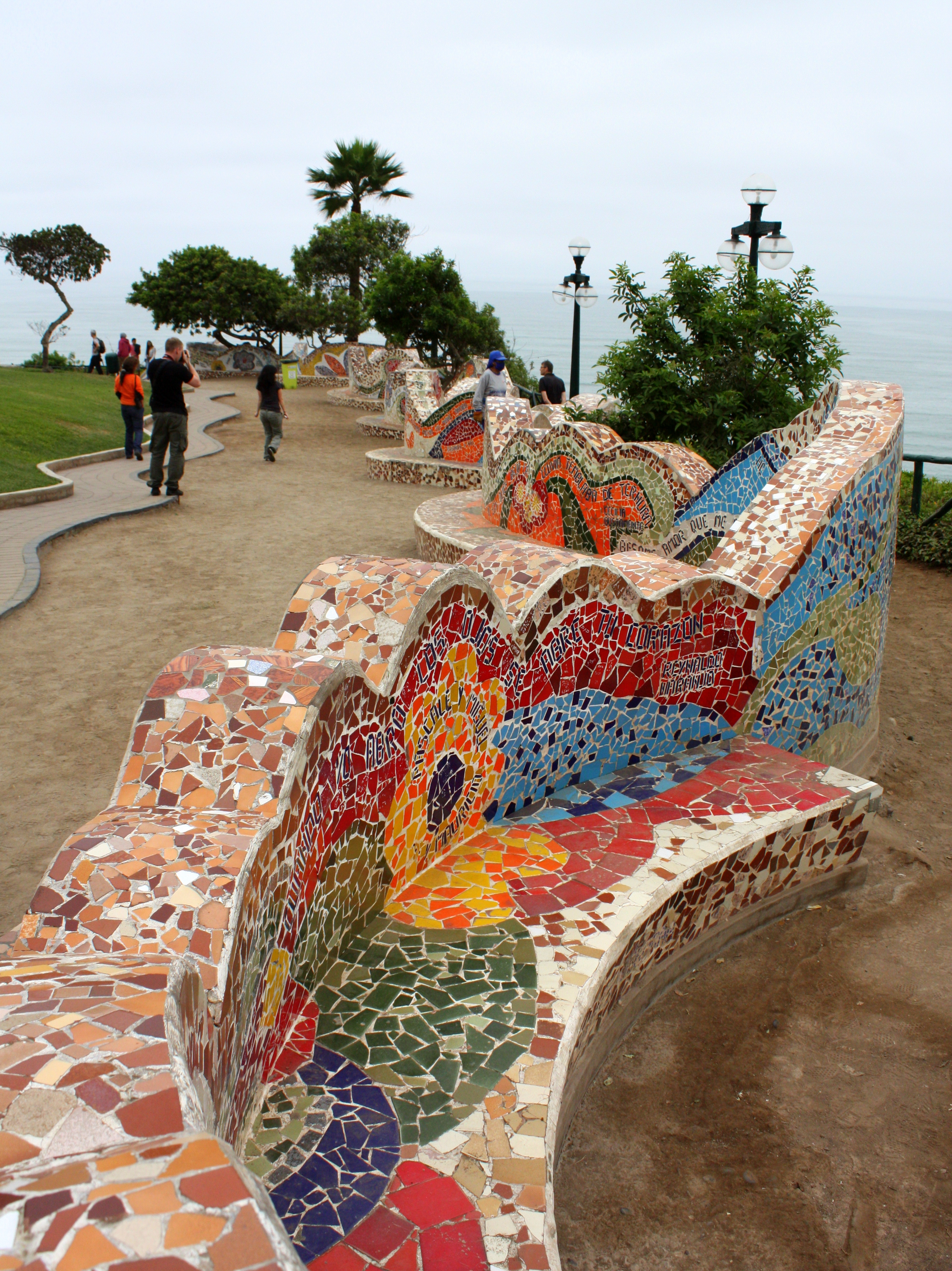
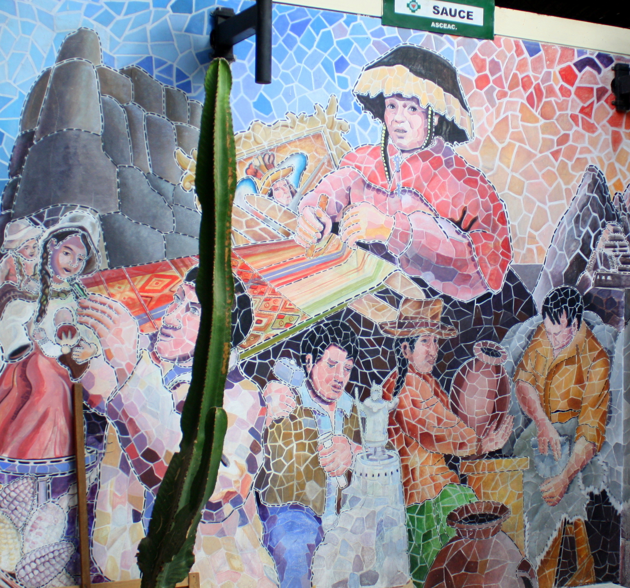
Mosaic wall along the ocean front
In Miraflores, the beachfront parks are mirrored by parks strung along the cliffs above.
Visitors will be wowed not only by Larcomar Mall‘s selection of eateries and chic shops, but by its stunning ocean overlook.

Lima ocean view facing south

“The Kiss”, by sculptor Victor Delfin, in the Parque Del Amor on Lima’s oceanfront.
Not far down the beach, the centerpiece of the Parque del Amor, opened on Valentine’s day in 1993, is a Victor Delfin sculpture of lovers in passionate embrace titled “El Beso”.
Posted nearby is a quote by poet Antonio Cilloniz in which he laments that cities build monuments to warriors, but never to lovers.
Peace and love – paz y amor – is a recurrent theme throughout Peru.
In the San Miguel District, a statue of John Lennon holding a guitar stands in his namesake park, and tiles in a mosaic circle at his feet spell out the work “Imagine”.
Next to Miraflores’ municipal park at Larco and Diagonal Residents is Kennedy Park, known in the city for it stray cat population.
Here, neighborhood cat lovers “sponsor” a cat by paying for spaying, neutering, and vaccinations. Residents have also been known to adopt strays long enough to give them a bath and a few square meals before returning them to the park for adoption by others.
Classic home in Miraflores District, LIma
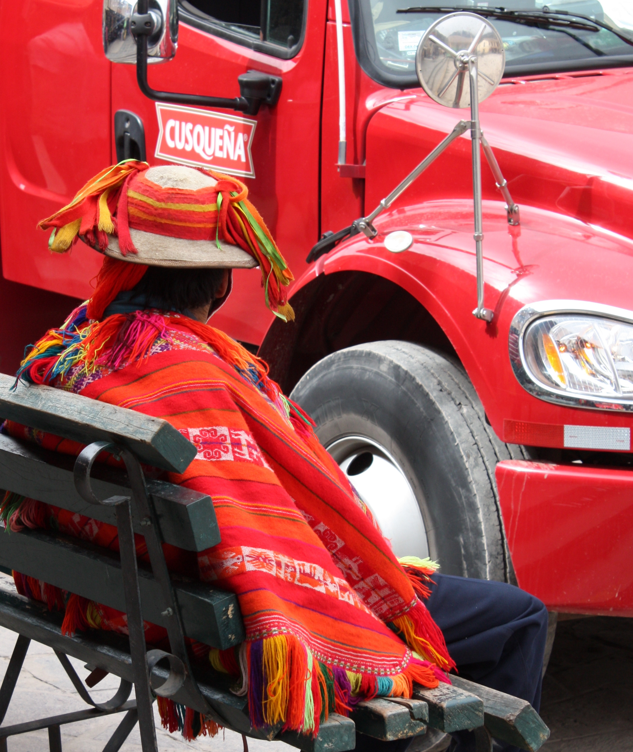
Lima traffic is a robustly chaotic affair in which any intersection not marked with a traffic light is a free-for-all.
It’s all the more challenging because horn-honking was forbidden by a former mayor who considered Lima’s ear-splitting street noise off-putting to tourists.
It’s best to rely on local drivers to navigate its formidable currents.
Be forewarned, though, that with curbside parking space at a premium there are no taxi stands – and because the government does not license or regulate taxis – it’s best to arrange transportation through your hotel, restaurant, or tour operator.
It’s taken a full day to explore Miraflores, but there’s plenty of Lima yet ahead, beginning with a visit to Lima’s Centro Historico. Click here to come along!


